
Bras d'Or Lakes
Forecast
Issued 03:00 AM ADT 01 April 2025
Forecasts have not yet started for the season.
Stay connected
 ATOM
ATOMWeather Conditions
Zoom-in to make a selection
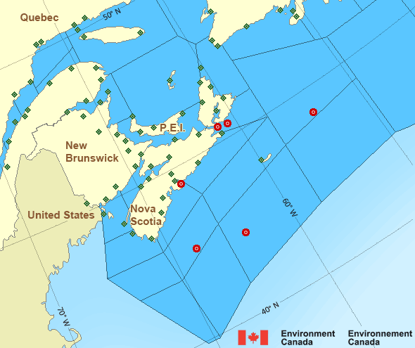
Legend:
 Buoy
Buoy  Land Station
 Ice Conditions
There is no ice forecast issued for this area.
Warnings
No watches or warnings in effect.
Synopsis
Technical Marine Synopsis
Issued 3:30 PM ADT 2 April 2025 Tonight and Thursday At 3:30 p.m. ADT today departing cold front located southeast ofthe Grand Banks.
At 3:30 p.m. ADT today ridge located over Quebec.
By 3:30 p.m. ADT Thursday ridge located on a line
northwest-southeast over the eastern Marine District.
At 3:30 p.m. ADT Thursday approaching warm front located over Maine.
Marine Weather Statement
Issued 3:14 PM ADT 2 April 2025 A cold front east of the marine district will continue to track awayfrom the region tonight. Strong to gale force northwesterlies behind
this cold front weaken as a ridge of high pressure builds in from the
west tonight.
Marine interests are advised that gale warnings are in effect for
Banquereau - northern half, Cabot Strait, Gulf - Magdalen -
northeastern half, and Anticosti. Freezing spray warnings are in
effect for Cabot Strait and all Gulf of St. Lawrence waters except
Northumberland Strait.
Atlantic - Maritimes Area
- Anticosti
- Banquereau - northern half
- Banquereau - southern half
- Bras d'Or Lakes
- Browns Bank
- Cabot Strait
- Chaleur - Miscou
- Eastern Shore - eastern half
- Eastern Shore - western half
- East Coast
- East Scotian Slope
- Fourchu
- Fundy
- Georges Bank
- Grand Manan
- Gulf - Magdalen - northeastern half
- Gulf - Magdalen - southwestern half
- Gulf - Port au Port
- Halifax Harbour and Approaches
- LaHave Bank
- Laurentian Fan
- Lurcher
- L'Isle-aux-Coudres to Tadoussac
- Northumberland Strait
- Pointe à Michel to Pointe-des-Monts
- Pointe-des-Monts to Anticosti - northern half
- Pointe-des-Monts to Anticosti - southern half
- Sable - eastern half
- Sable - western half
- Southeastern Grand Banks
- Southwestern Grand Banks
- Southwestern Shore
- Southwest Coast
- South Coast
- Tadoussac to Pointe à Michel
- West Scotian Slope
Another Region
- Date modified: