
Southwest Coast
Forecast
Marine Forecast
Issued 03:30 PM NDT 25 April 2025
Tonight and Saturday.
Wind light increasing to south 10 to 15 knots Saturday afternoon and to south 15 to 20 Saturday evening.
Rain and fog banks Saturday evening.
Waves
Issued 06:00 AM NDT 25 April 2025
Today Tonight and Saturday.
Seas 1 metre or less.
Extended Forecast
Issued 03:30 PM NDT 25 April 2025
Sunday
Wind southeast 15 to 20 knots increasing to
south 35 in the morning then diminishing to southwest 25 late in the
day.
Monday
Wind south 25 knots becoming northeast
25.
Tuesday
Wind north 25 knots backing to west 15 to
20.
Ice Forecast
Stay connected
 ATOM
ATOMWeather Conditions
Zoom-in to make a selection
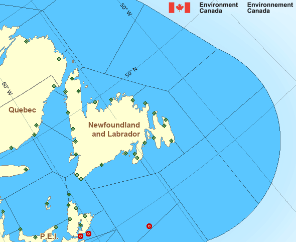
Legend:
 Buoy
Buoy  Land Station
 Ice Conditions
Ice Forecasts
Issued 10:00 AM EDT 25 April 2025 Today Tonight and SaturdayIce Edge
First ice edge estimated from New Brunswick near 4743N 6440W to4744N 6434W to 4836N 6358W to Quebec near 4851N 6412W. Sea ice west
of the ice edge.
Second ice edge estimated from Quebec near 5011N 6057W to 4955N
6023W to 5107N 5730W to Newfoundland near 5029N 5728W. Sea ice north
then east of the ice edge.
Ice Coverage
Ice free.
Iceberg Bulletin
Issued 2:30 PM EDT 24 April 2025Iceberg Limit
Iceberg limit at 0000 UTC 25 Apr estimated from Newfoundland near4731N 5444W to 4055N 5215W to 4125N 4740W to 4705N 3500W to 5355N
4530W to 5915N 5605W to 6035N 5500W to 5920N 4925W then eastwards.
Western iceberg limit at 0000 UTC 25 Apr estimated from Quebec near
5020N 6115W to Newfoundland near 4805N 5845W.
Iceberg Count
No confirmed icebergs.Warnings
No watches or warnings in effect.
Synopsis
Technical Marine Synopsis
Issued 3:30 PM NDT 25 April 2025 Tonight and Saturday At 3:30 p.m. NDT today ridge located over the Gulf of St. Lawrence.By 3:30 p.m. NDT Saturday ridge located on a line north-south over
the East Coast of Newfoundland.
Atlantic - Newfoundland Area
Another Region
- Date modified: