
Northeast Coast
Forecast
Marine Forecast
Issued 03:30 PM NDT 31 March 2025
Tonight and Tuesday.
Wind light increasing to southeast 15 knots early this evening and to southeast 25 near midnight. Wind diminishing to variable 15 to 20 Tuesday afternoon then increasing to southwest 30 Tuesday evening.
Snow tonight. Freezing rain Tuesday morning and afternoon changing to periods of rain and fog patches. Visibility 1 mile or less in snow and in fog patches.
Temperatures minus 8 to minus 3 rising to plus 2 Tuesday afternoon.
Waves
Issued 06:00 PM NDT 31 March 2025
Tonight and Tuesday.
Outside the ice edge seas 1 metre or less building to 1 to 2 near
midnight and to 2 to 3 Tuesday evening.
Extended Forecast
Issued 03:30 PM NDT 31 March 2025
Wednesday
Wind west 25 to 35 knots.
Thursday
Wind northwest 25 knots diminishing to
light.
Friday
Wind southeast 20 knots backing to northeast
20.
Ice Forecast
Issued 10:00 AM EDT 31 March 2025 Today Tonight and Tuesday Bergy water except 5 tenths grey-white ice including 2 tenths
first-year ice in the northeastern section. Consolidated first-year
ice along parts of the coast.
Stay connected
 ATOM
ATOMWeather Conditions
Zoom-in to make a selection
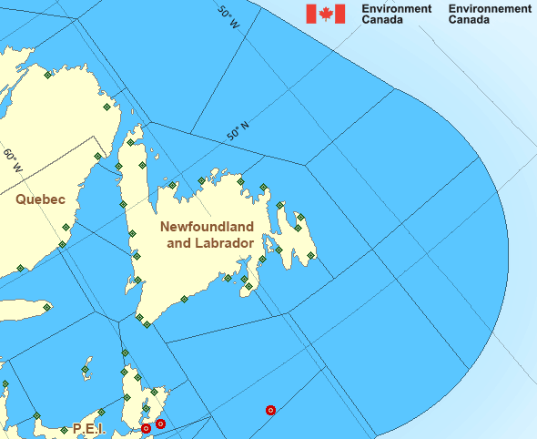
Legend:
 Buoy
Buoy  Land Station
 Ice Conditions
Ice Forecasts
Issued 10:00 AM EDT 31 March 2025 Today Tonight and TuesdayIce Edge
Ice edge estimated from Newfoundland near 4809N 5253W to 5012N 4758Wto 5458N 5130W to 5734N 5655W to 6122N 5833W to 6149N 5719W then
northeastward. Sea ice north then west of the ice edge.
Ice Coverage
Bergy water except 5 tenths grey-white ice including 2 tenths
first-year ice in the northeastern section. Consolidated first-year
ice along parts of the coast.
Iceberg Bulletin
Issued 3:16 PM EDT 31 March 2025Iceberg Limit
Iceberg limit at 0000 UTC 1 Apr estimated from Newfoundland near4658N 5404W to 4410N 5045W to 4410N 4645W to 4655N 4040W to 5155N
4425W to 5510N 4705W to 5900N 5620W to 6110N 5505W to 5830N 4740W
then eastwards.
Western iceberg limit at 0000 UTC 1 Apr estimated from Quebec near
5016N 6208W to Newfoundland near 4753N 5923W.
Iceberg Count
10 to 25 icebergs.Warnings
No watches or warnings in effect.
Synopsis
Technical Marine Synopsis
Issued 3:30 PM NDT 31 March 2025 Tonight and Tuesday At 3:30 p.m. NDT today ridge located from the Grand Banks to theTorngat Mountains.
By 10:00 a.m. NDT Tuesday departing ridge located northeast of
Belle Isle Bank.
At 3:30 p.m. NDT today low 995 mb located over southern Ontario.
By 3:30 p.m. NDT Tuesday low 992 mb located over the Quebec Lower
North Shore.
Marine Weather Statement
Issued 7:43 PM NDT 31 March 2025 An intense low pressure system over Southern Quebec will track acrossthe Quebec Lower North Shore tonight to lie over the Strait of Belle
Isle by Tuesday evening. Strong east to southeasterly winds will
develop ahead of the low and increase to strong to gale force
southwesterly winds in its wake.
Marine interests are advised that gale warnings are in effect for
Southwest Coast, South Coast, and Southwestern Grand Banks.
Marine interests are also advised that freezing spray warnings are in
effect for Strait of Belle Isle and Belle Isle Bank - northeastern
half.
Atlantic - Newfoundland Area
- Anticosti - northeastern half
- Anticosti - southwestern half
- Banquereau
- Belle Isle Bank - northeastern half
- Belle Isle Bank - southwestern half
- Bras d'Or Lakes
- Cabot Strait - northern half
- Cabot Strait - southern half
- Chaleur - Miscou - eastern half
- Chaleur - Miscou - western half
- Eastern Shore - eastern half
- East Coast - Cape St. Francis and south
- East Coast - north of Cape St. Francis
- Fourchu
- Funk Island Bank
- Gulf - Magdalen
- Gulf - Port au Port
- Lake Melville
- Laurentian Fan
- Mid Labrador Coast
- Northeast Coast
- Northeast Gulf
- Northern Grand Banks
- Northumberland Strait
- Sable - eastern half
- Southeastern Grand Banks
- Southwestern Grand Banks
- Southwest Coast
- South Coast
- South Labrador Coast
- South Labrador Sea - western half
- Strait of Belle Isle
Another Region
- Date modified: