
Laurentian Fan
Forecast
Marine Forecast
Issued 03:00 AM ADT 18 July 2026
Today Tonight and Sunday.
Wind westerly 15 knots diminishing to light this morning then increasing to southerly 20 Sunday morning. Wind increasing to south 30 near noon Sunday.
Rain and fog patches Sunday late in the day with a risk of thunderstorms.
Waves
Issued 05:00 AM ADT 18 July 2026
Today Tonight and Sunday.
Seas 1 to 2 metres building to 2 to 3 near noon
Sunday.
Extended Forecast
Issued 03:00 AM ADT 18 July 2026
Monday
Wind southwest 20 knots.
Tuesday
Wind light becoming southeast 15 knots late in
the day.
Wednesday
Wind southerly 15 knots increasing to south
25.
Stay connected
 ATOM
ATOMWeather Conditions
Zoom-in to make a selection
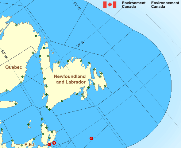
Legend:
 Buoy
Buoy  Land Station
 Ice Conditions
Ice Forecasts
Issued 10:00 AM EDT 19 May 2026 Forecasts have ended for the season.Iceberg Bulletin
Issued 2:30 PM EDT 17 July 2026Iceberg Limit
Iceberg limit at 0000 UTC 18 Jul estimated from Newfoundland near4805N 5255W to 4645N 4700W to 4700N 4450W to 4830N 4430W to 5535N
5100W to 5815N 5515W to 5750N 5400W to 5825N 4825W to 5720N 4510W
then eastward.
Iceberg Count
No confirmed icebergs.Warnings
No watches or warnings in effect.
Synopsis
Technical Marine Synopsis
Issued 3:00 AM ADT 18 July 2026 Today Tonight and Sunday At 3:00 a.m. ADT today departing low located over Labrador.At 3:30 p.m. ADT today low 997 mb located over southern Quebec.
By 3:30 p.m. ADT Sunday low 987 mb located over the Gaspe Peninsula.
Marine Weather Statement
Issued 2:44 AM ADT 18 July 2026 A low pressure system centered over Southern Quebec this afternoonwill move east to lie over the Gaspé Peninsula by Sunday afternoon.
Strong to gale force south to southeasterlies are expected southeast
of the low.
Marine interests are advised gale warnings are in effect for
Banquereau, Cabot Strait, Gulf - Magdalen, and Anticosti - eastern
half.
Atlantic - Newfoundland Area
Another Region
Features
Colour-coded weather alerts

Learn more about weather alerting in Canada
Thunderstorm Outlooks

Find the Thunderstorm Outlook for your area.
- Date modified: