
Bras d'Or Lakes
Forecast
Marine Forecast
Issued 10:00 AM ADT 17 July 2026
Today Tonight and Saturday.
Wind westerly 15 knots diminishing to light early this evening. Wind light Saturday.
High today plus 19. Low tonight plus 14. High Saturday plus 22.
Stay connected
 ATOM
ATOMWeather Conditions
Zoom-in to make a selection
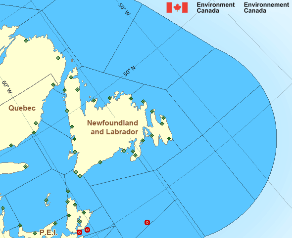
Legend:
 Buoy
Buoy  Land Station
 Ice Conditions
There is no ice forecast issued for this area.
Warnings
No watches or warnings in effect.
Synopsis
Technical Marine Synopsis
Issued 10:00 AM ADT 17 July 2026 Today Tonight and Saturday At 10:00 a.m. ADT today quasi-stationary low located over Labrador.At 10:00 a.m. ADT today departing trough located east of the
Marine District.
At 3:30 p.m. ADT Saturday approaching low 996 mb located over
southern Quebec.
Atlantic - Newfoundland Area
Another Region
Features
Colour-coded weather alerts

Learn more about weather alerting in Canada
Thunderstorm Outlooks

Find the Thunderstorm Outlook for your area.
- Date modified: