
Bras d'Or Lakes
Forecast
Marine Forecast
Issued 08:00 PM ADT 31 May 2025
Tonight and Sunday.
Strong wind warning in effect.
Wind south 10 to 15 knots increasing to southerly 20 late this evening then veering to southwest 20 to 25 Sunday afternoon with gusts to 30 in the channels.
Showers and fog patches ending Sunday morning. Risk of thunderstorms late this evening. Showers Sunday afternoon.
Low tonight plus 12. High Sunday plus 17.
Stay connected
 ATOM
ATOMWeather Conditions
Zoom-in to make a selection
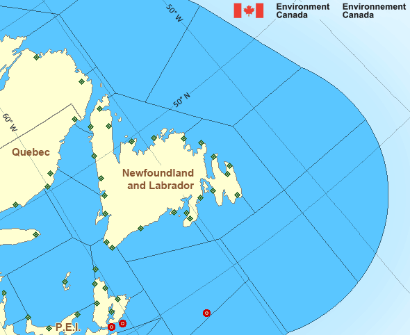
Legend:
 Buoy
Buoy  Land Station
 Ice Conditions
There is no ice forecast issued for this area.
Warnings
Warnings (In effect)
Strong wind warning in effect
Bras d'Or Lakes
Issued 8:00 PM ADT 31 May 2025'Strong' winds of 20 to 33 knots are occurring or expected to occur in this marine area. Please refer to the latest marine forecasts for further details and continue to monitor the situation through Canadian Coast Guard radio or Weatheradio stations.
Synopsis
Technical Marine Synopsis
Issued 8:00 PM ADT 31 May 2025 Tonight and Sunday At 8:00 p.m. ADT tonight low 983 mb located over Maine.By 3:00 a.m. ADT Sunday quasi-stationary low 983 mb located near
the St. Lawrence River.
Atlantic - Newfoundland Area
- Anticosti
- Banquereau
- Belle Isle Bank
- Bras d'Or Lakes
- Cabot Strait - northern half
- Cabot Strait - southern half
- Chaleur - Miscou - eastern half
- Chaleur - Miscou - western half
- Eastern Shore
- East Coast - Cape St. Francis and south
- East Coast - north of Cape St. Francis
- Fourchu
- Funk Island Bank
- Gulf - Magdalen
- Gulf - Port au Port
Another Region
- Date modified: