
Bras d'Or Lakes
Forecast
Issued 03:00 AM AST 04 November 2024
Forecasts have ended for the season.
Stay connected
 ATOM
ATOMWeather Conditions
Zoom-in to make a selection
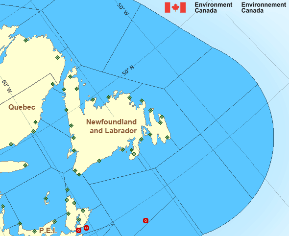
Legend:
 Buoy
Buoy  Land Station
 Ice Conditions
There is no ice forecast issued for this area.
Warnings
No watches or warnings in effect.
Synopsis
Technical Marine Synopsis
Issued 8:00 PM AST 21 December 2024 Tonight and Sunday At 8:00 p.m. AST tonight low 975 mb located over westernNewfoundland.
By 3:00 a.m. AST Sunday departing low 971 mb located near the
Strait of Belle Isle.
At 8:00 p.m. AST tonight approaching ridge located over the
Great Lakes.
Marine Weather Statement
Issued 7:44 PM AST 21 December 2024 A low over Western Newfoundland will move to lie near the Strait ofBelle Isle overnight tonight. Gale to storm force winds will diminish
to strong to gale force northwesterlies in the wake of the low later
tonight.
Marine interests are advised that storm warnings are in effect for
Banquereau, Cabot Strait - northern half, Gulf-Magdalen, and
Anticosti - southeastern half. Gale warnings are in effect for
eastern shore - eastern half, Sable - eastern half, East Scotian
Slope, Laurentian Fan, Cabot Strait - southern half, Northumberland
Strait, Chaleur-Miscou - eastern half and Anticosti - northwestern
half.
Freezing spray warnings are in effect for all Gulf of St. Lawrence
waters. Higher than normal water levels are possible along
north-facing coastlines of the Southern Gulf of St. Lawrence during
high tide this evening.
Atlantic - Newfoundland Area
- Anticosti - northwestern half
- Anticosti - southeastern half
- Banquereau
- Belle Isle Bank
- Bras d'Or Lakes
- Cabot Strait - northern half
- Cabot Strait - southern half
- Chaleur - Miscou - eastern half
- Chaleur - Miscou - western half
- Eastern Shore - eastern half
- East Coast
- Fourchu
- Funk Island Bank
- Gulf - Magdalen
- Gulf - Port au Port
Another Region
Features
Canada's 10 most impactful weather stories of 2024

Find out which weather events made the list
- Date modified: