
Pointe à Michel to Pointe-des-Monts
Forecast
Marine Forecast
Issued 03:00 PM EDT 31 May 2025
Tonight and Sunday.
Gale warning in effect.
Wind northeast 20 to 30 knots diminishing to northeast 15 late overnight and to light late Sunday morning. Wind increasing to southwest 25 to 35 Sunday afternoon.
Rain this afternoon tonight and Sunday. Visibility 1 mile or less in rain.
Waves
Issued 03:00 PM EDT 31 May 2025
Tonight and Sunday.
Seas 2 metres subsiding to 1 or less near noon Sunday then
building to 1 to 2 Sunday afternoon. Seas building to 2 to 3 Sunday
evening.
Extended Forecast
Issued 06:00 PM EDT 31 May 2025
Monday
Wind southwest 20 to 30 knots diminishing to
southwest 10 to 15 late in the day.
Tuesday
Wind southwest 10 to 15 knots.
Wednesday
Wind southwest 15 to 25 knots.
Stay connected
 ATOM
ATOMWeather Conditions
Zoom-in to make a selection
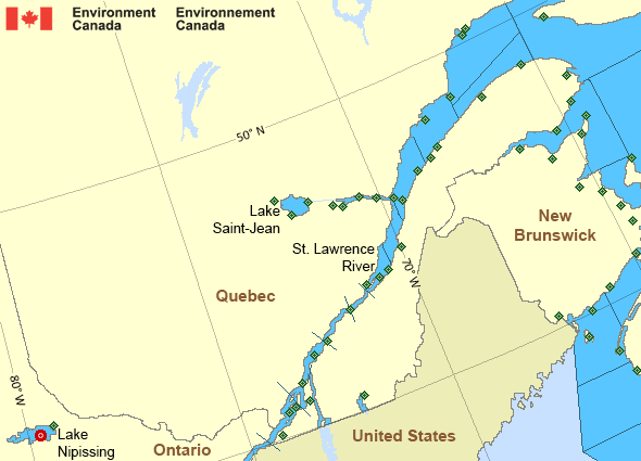
Legend:
 Buoy
Buoy  Land Station
 Ice Conditions
Ice Forecasts
Issued 10:00 AM EDT 26 May 2025 Forecasts have ended for the season.Warnings
Warnings (In effect)
Gale warning in effect
Pointe à Michel to Pointe-des-Monts
Issued 4:27 PM EDT 31 May 2025'Gale' force winds of 34 to 47 knots are occurring or expected to occur in this marine area. Watch for updated statements. Please refer to the latest marine forecasts for further details and continue to monitor the situation through Canadian Coast Guard radio or Weatheradio stations.
Synopsis
Technical Marine Synopsis
Issued 3:00 PM EDT 31 May 2025 Tonight and Sunday At 3:00 p.m. EDT today low 984 mb located northwest of Cape Cod.By 8:00 p.m. EDT Sunday low 991 mb located north of Sept-Îles.
St. Lawrence - St. Lawrence River Area
- Anticosti
- Beauport to L'Isle-aux-Coudres
- Browns Bank
- Chaleur - Miscou - eastern half
- Chaleur - Miscou - western half
- Cornwall to Montréal
- Donnacona to Beauport
- Fundy
- Grand Manan
- Gulf - Magdalen
- Kingston to Cornwall
- Lake Memphrémagog - northern half
- Lake Nipissing
- Lake Saint-Jean
- Lurcher
- L'Isle-aux-Coudres to Tadoussac
- Montréal to Trois-Rivières
- Northumberland Strait
- Pointe à Michel to Pointe-des-Monts
- Pointe-des-Monts to Anticosti - northern half
- Pointe-des-Monts to Anticosti - southern half
- Richelieu River and Northern Lake Champlain
- Saguenay to Tadoussac
- Tadoussac to Pointe à Michel
- Trois-Rivières to Donnacona
Another Region
- Date modified: