
Northumberland Strait
Forecast
Marine Forecast
Issued 08:00 PM ADT 21 May 2026
Tonight and Friday.
Wind northwest 15 to 20 knots diminishing to northwest 10 to 15 Friday afternoon.
Extended Forecast
Issued 03:30 PM ADT 21 May 2026
Saturday
Wind northwest 20 knots diminishing to light
in the afternoon.
Sunday
Wind light.
Monday
Wind south 15 knots.
Stay connected
 ATOM
ATOMWeather Conditions
Zoom-in to make a selection
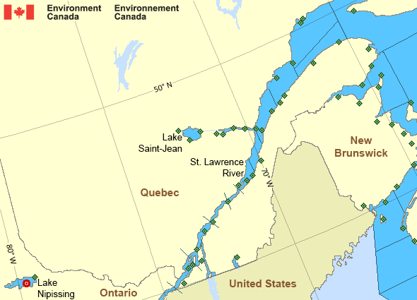
Legend:
 Buoy
Buoy  Land Station
 Ice Conditions
Ice Forecasts
Issued 10:00 AM EDT 19 May 2026 Forecasts have ended for the season.Warnings
No watches or warnings in effect.
Synopsis
Technical Marine Synopsis
Issued 8:00 PM ADT 21 May 2026 Tonight and Friday At 8:00 p.m. ADT tonight ridge located over New England.By 3:30 p.m. ADT Friday ridge located over the southwestern Marine
District.
Marine Weather Statement
Issued 7:38 PM ADT 21 May 2026 Gale force northwesterlies will reintensify over northern watersFriday afternoon between a building ridge from the west and a low
pressure system well off to the northeast.
Marine interests are advised that gale warnings are in effect for
Cabot Strait - northern half, Gulf-Magdalen - northeastern half, and
Anticosti.
St. Lawrence - St. Lawrence River Area
- Anticosti
- Beauport to L'Isle-aux-Coudres
- Browns Bank
- Chaleur - Miscou
- Cornwall to Montréal
- Donnacona to Beauport
- Fundy
- Grand Manan
- Gulf - Magdalen - northeastern half
- Gulf - Magdalen - southwestern half
- Kingston to Cornwall
- Lake Memphrémagog - northern half
- Lake Nipissing
- Lake Saint-Jean
- Lurcher
- L'Isle-aux-Coudres to Tadoussac
- Montréal to Trois-Rivières
- Northumberland Strait
- Pointe à Michel to Pointe-des-Monts
- Pointe-des-Monts to Anticosti - northern half
- Pointe-des-Monts to Anticosti - southern half
- Richelieu River and Northern Lake Champlain
- Saguenay to Tadoussac
- Tadoussac to Pointe à Michel
- Trois-Rivières to Donnacona
Another Region
Features
Colour-coded weather alerts

Learn more about weather alerting in Canada
- Date modified: