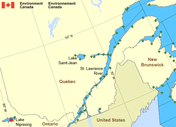
Montréal to Trois-Rivières
Forecast
Marine Forecast
Issued 03:00 PM EST 27 November 2024
Tonight and Thursday.
Wind southwest 20 to 30 knots diminishing to southwest 10 to 20 this evening then becoming light early Thursday morning. Wind becoming northeast 10 to 15 Thursday afternoon.
Periods of snow or rain Thursday afternoon and evening.
Low tonight minus 1. High Thursday plus 4.
Strong wind warning program has ended for the season.
Extended Forecast
Issued 06:00 PM EST 27 November 2024
Friday
Wind southwest 10 to 15 knots.
Saturday
Wind southwest 10 to 15 knots increasing to
southwest 15 to 20.
Sunday
Wind southwest 10 to 15 knots.
Stay connected
Weather Conditions
Zoom-in to make a selection

Legend:
Ice Conditions
There is no ice forecast issued for this area.
Warnings
No watches or warnings in effect.
Synopsis
Technical Marine Synopsis
Issued 3:00 PM EST 27 November 2024 Tonight and Thursday At 3:00 p.m. EST today quasi-stationary low located over James Bay.At 3:00 p.m. EST today trough from low located over the Gaspe
Peninsula.
By 7:00 p.m. EST Thursday dissipating trough from low located over
the Strait of Belle Isle.
At 7:00 a.m. EST Thursday intensifying low 1005 mb located south
of Lake Erie.
By 7:00 p.m. EST Thursday low 994 mb located near Cape Cod.
St. Lawrence - St. Lawrence River Area
- Anticosti - northeastern half
- Anticosti - southwestern half
- Beauport to L'Isle-aux-Coudres
- Browns Bank
- Chaleur - Miscou
- Cornwall to Montréal
- Donnacona to Beauport
- Fundy
- Grand Manan
- Gulf - Magdalen
- Kingston to Cornwall
- Lake Memphrémagog - northern half
- Lake Nipissing
- Lake Saint-Jean
- Lurcher
- L'Isle-aux-Coudres to Tadoussac
- Montréal to Trois-Rivières
- Northumberland Strait - western half
- Pointe à Michel to Pointe-des-Monts
- Pointe-des-Monts to Anticosti - northern half
- Pointe-des-Monts to Anticosti - southern half
- Richelieu River and Northern Lake Champlain
- Saguenay to Tadoussac
- Tadoussac to Pointe à Michel
- Trois-Rivières to Donnacona
Another Region
- Date modified:
 ATOM
ATOM