
Chaleur - Miscou - western half
Forecast
Marine Forecast
Issued 08:00 PM ADT 27 July 2026
Tonight and Tuesday.
Wind east 15 knots diminishing to light near midnight then becoming east 15 Tuesday afternoon.
Fog patches forming late overnight and dissipating Tuesday evening.
Extended Forecast
Issued 03:30 PM ADT 27 July 2026
Wednesday
Wind light.
Thursday
Wind easterly 10 to 15 knots.
Friday
Wind variable 10 to 15 knots.
Stay connected
 ATOM
ATOMWeather Conditions
Zoom-in to make a selection
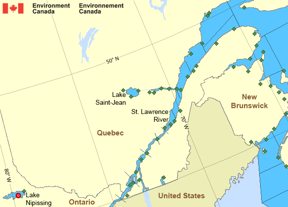
Legend:
 Buoy
Buoy  Land Station
 Ice Conditions
Ice Forecasts
Issued 10:00 AM EDT 19 May 2026 Forecasts have ended for the season.Warnings
No watches or warnings in effect.
Synopsis
Technical Marine Synopsis
Issued 8:00 PM ADT 27 July 2026 Tonight and Tuesday At 8:00 p.m. ADT tonight low 1002 mb located over East ScotianSlope.
By 8:00 p.m. ADT Tuesday departing low 1004 mb located over
Banquereau.
At 10:00 a.m. ADT Tuesday building ridge located over the
southwestern Marine District.
By 8:00 p.m. ADT Tuesday ridge located over the central Marine
District.
St. Lawrence - St. Lawrence River Area
- Anticosti - eastern half
- Anticosti - western half
- Beauport to L'Isle-aux-Coudres
- Browns Bank
- Chaleur - Miscou - eastern half
- Chaleur - Miscou - western half
- Cornwall to Montréal
- Donnacona to Beauport
- Fundy
- Grand Manan
- Gulf - Magdalen - northeastern half
- Gulf - Magdalen - southwestern half
- Kingston to Cornwall
- Lake Memphrémagog - northern half
- Lake Nipissing
- Lake Saint-Jean
- Lurcher
- L'Isle-aux-Coudres to Tadoussac
- Montréal to Trois-Rivières
- Northumberland Strait
- Pointe à Michel to Pointe-des-Monts
- Pointe-des-Monts to Anticosti - northern half
- Pointe-des-Monts to Anticosti - southern half
- Richelieu River and Northern Lake Champlain
- Saguenay to Tadoussac
- Tadoussac to Pointe à Michel
- Trois-Rivières to Donnacona
Another Region
Features
Colour-coded weather alerts

Learn more about weather alerting in Canada
Thunderstorm Outlooks

Find the Thunderstorm Outlook for your area.
- Date modified: