
St. Lawrence - St. Lawrence River
Forecast
The data for the page you have requested is not available. Please return to your previous selection or to the Marine Weather homepage.
Stay connected
 ATOM
ATOMWeather Conditions
Zoom-in to make a selection
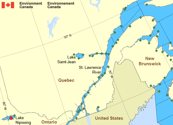
Legend:
 Buoy
Buoy  Land Station
 Ice Conditions
The data for the page you have requested is not available. Please return to your previous selection or to the Marine Weather homepage.
Warnings
No watches or warnings in effect.
Synopsis
The data for the page you have requested is not available. Please return to your previous selection or to the Marine Weather homepage.
St. Lawrence - St. Lawrence River Area
- Anticosti - northwestern half
- Anticosti - southeastern half
- Beauport to L'Isle-aux-Coudres
- Browns Bank
- Chaleur - Miscou - eastern half
- Chaleur - Miscou - western half
- Cornwall to Montréal
- Donnacona to Beauport
- Fundy
- Grand Manan
- Gulf - Magdalen - northeastern half
- Gulf - Magdalen - southwestern half
- Kingston to Cornwall
- Lake Memphrémagog - northern half
- Lake Nipissing
- Lake Saint-Jean
- Lurcher
- L'Isle-aux-Coudres to Tadoussac
- Montréal to Trois-Rivières
- Northumberland Strait
- Pointe à Michel to Pointe-des-Monts
- Pointe-des-Monts to Anticosti - northern half
- Pointe-des-Monts to Anticosti - southern half
- Richelieu River and Northern Lake Champlain
- Saguenay to Tadoussac
- Tadoussac to Pointe à Michel
- Trois-Rivières to Donnacona
Another Region
Features
Canada's 10 most impactful weather stories of 2024

Find out which weather events made the list
- Date modified: