
Saguenay to Tadoussac
Forecast
Marine Forecast
Issued 03:00 PM EDT 22 September 2026
Tonight and Wednesday.
Wind west 10 to 15 knots becoming light this evening then becoming west 15 Wednesday morning.
Extended Forecast
Issued 06:00 AM EDT 22 September 2026
Thursday
Wind west 15 knots diminishing to light in
the afternoon.
Friday
Wind light.
Saturday
Wind light.
Stay connected
 ATOM
ATOMWeather Conditions
Zoom-in to make a selection
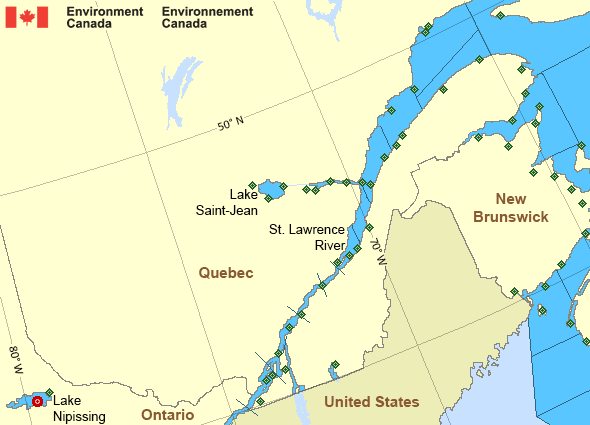
Legend:
 Buoy
Buoy  Land Station
 Ice Conditions
There is no ice forecast issued for this area.
Warnings
Warnings (Ended)
Strong wind warning ended
Saguenay to Tadoussac
Issued 3:00 PM EDT 22 September 2026Synopsis
Technical Marine Synopsis
Issued 3:00 PM EDT 22 September 2026 Tonight and Wednesday At 3:00 p.m. EDT today high 1034 mb located over western Quebec.By 8:00 p.m. EDT Wednesday high 1037 mb located near Lake
Saint-Jean.
St. Lawrence - St. Lawrence River Area
- Anticosti
- Beauport to L'Isle-aux-Coudres
- Browns Bank
- Chaleur - Miscou
- Cornwall to Montréal
- Donnacona to Beauport
- Fundy
- Grand Manan
- Gulf - Magdalen
- Kingston to Cornwall
- Lake Memphrémagog - northern half
- Lake Nipissing
- Lake Saint-Jean
- Lurcher
- L'Isle-aux-Coudres to Tadoussac
- Montréal to Trois-Rivières
- Northumberland Strait
- Pointe à Michel to Pointe-des-Monts
- Pointe-des-Monts to Anticosti - northern half
- Pointe-des-Monts to Anticosti - southern half
- Richelieu River and Northern Lake Champlain
- Saguenay to Tadoussac
- Tadoussac to Pointe à Michel
- Trois-Rivières to Donnacona
Another Region
Features
Colour-coded weather alerts

Learn more about weather alerting in Canada
- Date modified: