Eastern Lake Ontario
Forecast
Marine Forecast
Issued 10:30 AM EDT 25 May 2025
Today Tonight and Monday.
Wind west 15 knots diminishing to west 10 early this evening then becoming light Monday evening.
Scattered showers this afternoon and this evening with a risk of thunderstorms. Fog patches forming near midnight and dissipating near noon Monday.
Waves
Issued 10:30 AM EDT 25 May 2025
Today Tonight and Monday.
Waves 0.5 to 1 metre subsiding to 0.5 this evening and to less
than 0.5 Monday evening.
Extended Forecast
Issued 03:00 AM EDT 25 May 2025
Tuesday
Wind light.
Wednesday
Wind light becoming east 15 knots.
Thursday
Wind east 15 knots veering to south
15.
Stay connected
Weather Conditions
Zoom-in to make a selection

Legend:
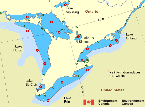
Ice Conditions
*Ice Forecast and Warnings also apply to U.S. waters
Ice Forecasts
Issued 12:00 PM EDT 16 May 2025 Forecasts have ended for the season.Warnings
No watches or warnings in effect.
Synopsis
Technical Marine Synopsis
Issued 10:30 AM EDT 25 May 2025 Today Tonight and Monday At 10:30 a.m. EDT today departing low 1008 mb located over NewBrunswick.
At 10:30 a.m. EDT today ridge located from Hudson Bay to Lake
Superior then to Illinois.
By 10:30 a.m. EDT Monday ridge located from James Bay to Lake
Superior then to Pennsylvania.
Great Lakes - Lake Erie and Lake Ontario Area
Another Region
- Date modified:
 ATOM
ATOM