
Western Lake Erie
Forecast
Marine Forecast
Issued 10:30 AM EDT 17 July 2026
Today Tonight and Saturday.
Strong wind warning in effect.
Wind light becoming southeast 10 knots early this evening then increasing to southwest 15 near midnight. Wind increasing to southwest 20 early Saturday morning then veering to northwest 20 Saturday evening.
Scattered showers tonight and Saturday with a risk of thunderstorms. Smoke dissipating Saturday morning. Visibility as low as 1 mile in smoke.
Waves
Extended Forecast
Stay connected
 ATOM
ATOMWeather Conditions
Zoom-in to make a selection
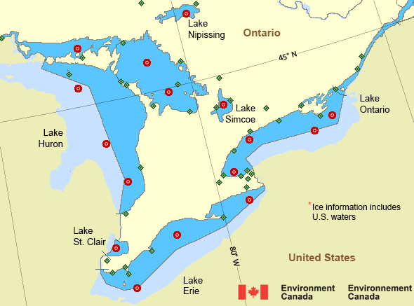
 Buoy
Buoy  Land Station
 Ice Conditions
*Ice Forecast and Warnings also apply to U.S. waters
Ice Forecasts
Issued 12:00 PM EDT 17 May 2026 Forecasts have ended for the season.Warnings
Warnings (In effect)
Strong wind warning in effect
Western Lake Erie
Issued 10:30 AM EDT 17 July 2026'Strong' winds of 20 to 33 knots are occurring or expected to occur in this marine area. Please refer to the latest marine forecasts for further details and continue to monitor the situation through Canadian Coast Guard radio.
Synopsis
Technical Marine Synopsis
Issued 10:30 AM EDT 17 July 2026 Today Tonight and Saturday At 10:30 a.m. EDT today ridge located on a line north-south oversouthern Ontario.
By 10:30 a.m. EDT Saturday ridge located on a line
northeast-southwest over the Eastern Seaboard.
At 10:30 a.m. EDT today low 1010 mb located over northwestern
Ontario.
By 10:30 a.m. EDT Saturday low 999 mb located north of Lake
Nipissing.
Great Lakes - Lake Erie and Lake Ontario Area
Another Region
Features
Colour-coded weather alerts

Learn more about weather alerting in Canada
Thunderstorm Outlooks

Find the Thunderstorm Outlook for your area.
- Date modified: