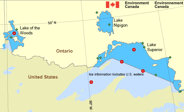
Whitefish Bay
Forecast
Marine Forecast
Issued 10:30 AM EDT 11 May 2025
Today Tonight and Monday.
Wind southeast 10 knots increasing to southeast 15 near noon then diminishing to southeast 10 late overnight. Wind southeast 10 Monday.
Waves
Issued 10:30 AM EDT 11 May 2025
Today Tonight and Monday.
Waves 0.5 metres or less.
Extended Forecast
Issued 03:00 AM EDT 11 May 2025
Tuesday
Wind south 15 knots diminishing to light in
the morning.
Wednesday
Wind light.
Thursday
Wind light increasing to southeast 20 knots
late in the day.
Ice Forecast*
Issued 12:00 PM EDT 11 May 2025 Today Tonight and Monday Ice free.
*Ice Forecast and Warnings also apply to U.S. waters
Stay connected
Weather Conditions
Zoom-in to make a selection

Legend:
Ice Conditions
*Ice Forecast and Warnings also apply to U.S. waters
Ice Forecasts
Issued 12:00 PM EDT 11 May 2025 Today Tonight and MondayIce Coverage
Ice free.
Warnings
No watches or warnings in effect.
Synopsis
Technical Marine Synopsis
Issued 10:30 AM EDT 11 May 2025 Today Tonight and Monday At 10:30 a.m. EDT today high 1028 mb located over central Ontario.By 10:30 a.m. EDT Monday departing high 1028 mb located over the
East Coast of the U.S.
At 10:30 a.m. EDT today quasi-stationary trough located on a line
east-west over northern Ontario.
Great Lakes - Lake Superior Area
Another Region
- Date modified:
 ATOM
ATOM