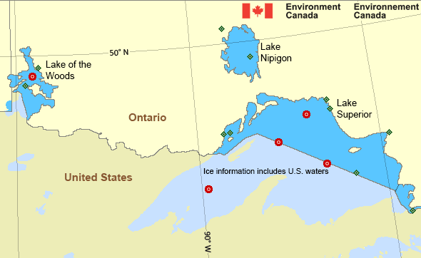
Western Lake Superior
Forecast
Marine Forecast
Issued 03:00 AM EDT 04 April 2025
Today Tonight and Saturday.
Wind west 10 knots becoming light early this morning then becoming southeast 10 this afternoon. Wind becoming variable 10 near midnight then increasing to northwest 20 Saturday morning.
Showers or flurries beginning near midnight becoming flurries Saturday morning and ending near noon Saturday.
Strong wind warning program has ended for the season.
Waves
Extended Forecast
Ice Forecast*
*Ice Forecast and Warnings also apply to U.S. waters
Stay connected
Weather Conditions
Zoom-in to make a selection

Ice Conditions
*Ice Forecast and Warnings also apply to U.S. waters
Ice Forecasts
Issued 12:00 PM EDT 3 April 2025 Today Tonight and FridayIce Coverage
Open water except 1 tenth thick lake ice near parts of the
northwestern shore. Consolidated thick lake ice in Black Bay,
Nipigon Bay, Chequamegon Bay and extreme eastern Thunder Bay.
Warnings
No watches or warnings in effect.
Synopsis
Technical Marine Synopsis
Issued 3:00 AM EDT 4 April 2025 Today Tonight and Saturday At 3:00 a.m. EDT today departing low 1003 mb located over centralQuebec.
At 3:00 a.m. EDT today high 1025 mb located over Wisconsin.
By 3:00 a.m. EDT Saturday high 1030 mb located over southern Quebec.
By 3:00 a.m. EDT Saturday approaching low 1010 mb located over
Illinois.
Great Lakes - Lake Superior Area
Another Region
- Date modified:
 ATOM
ATOM