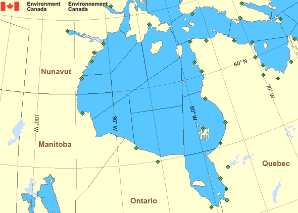
West Brevoort - southern half
Forecast
Marine Forecast
Issued 05:00 PM EDT 13 August 2026
Tonight and Friday.
Wind light becoming southwest 10 to 15 knots Friday morning.
Showers and fog patches.
Waves
Issued 05:00 PM EDT 13 August 2026
Tonight and Friday.
Seas 1 metre or less building to 1 to 2 Friday
morning.
Extended Forecast
Issued 05:00 PM EDT 13 August 2026
Saturday
Wind southwest 10 to 15 knots becoming light
in the morning.
Sunday
Wind light becoming south 10 to 15 knots late
in the day.
Monday
Wind northwest 10 to 15 knots backing to
southwest 20 late in the day.
Ice Forecast
Stay connected
Weather Conditions
Zoom-in to make a selection
Legend:
Ice Conditions
Ice Forecasts
Issued 11:00 AM EDT 13 August 2026 Today Tonight and FridayIce Edge
First ice edge estimated from Baffin Island near 6300N 6620W to6222N 6542W to 6205N 6414W to 6303N 6145W to 6514N 5849W to 6610N
5954W to Baffin Island near 6636N 6116W. Sea ice west of the ice
edge.
Second ice edge estimated from Somerset Island near 7357N 9035W to
Devon Island near 7432N 8952W. Sea ice west of the ice edge.
Third ice edge estimated from Devon Island near 7454N 7922W to 7554N
7525W to 7625N 7442W then northeastward. Sea ice northwest of the
ice edge.
Ice Coverage
Bergy water.
Warnings
No watches or warnings in effect.
Synopsis
Technical Marine Synopsis
Issued 4:45 PM EDT 13 August 2026 Tonight and Friday At 0000 UTC Friday quasi-stationary low 998 mb located over southernBaffin Island.
Hudson - Hudson Bay Area
Another Region
Features
Colour-coded weather alerts
Learn more about weather alerting in Canada
Thunderstorm Outlooks
Find the Thunderstorm Outlook for your area.
Improved storm alerts
Learn more about targeted warnings for severe thunderstorms and tornadoes
- Date modified:

ATOM