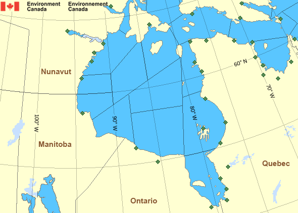
West Brevoort - southern half
Forecast
Marine Forecast
Issued 05:00 PM EDT 22 May 2025
Tonight and Friday.
Wind light increasing to northwest 15 to 20 knots late this evening then diminishing to light early Friday morning. Wind becoming west 15 Friday afternoon then veering to north 15 Friday evening.
Flurries ending near midnight.
Low tonight minus 6. High Friday plus 1.
Waves
Issued 05:00 PM EDT 22 May 2025
Tonight and Friday.
Mainly ice covered.
Extended Forecast
Issued 05:00 PM EDT 22 May 2025
Saturday
Wind north 15 knots diminishing to light in
the morning.
Sunday
Wind light increasing to north 20 knots late in
the day.
Monday
Wind north 20 knots increasing to southwest 25
late in the day.
Ice Forecast
Issued 11:00 AM EDT 22 May 2025 Today Tonight and Friday 9 tenths first-year ice including a trace of old ice. Consolidated first-year ice along parts of the coasts.
Stay connected
Weather Conditions
Zoom-in to make a selection

Legend:
Ice Conditions
Ice Forecasts
Issued 11:00 AM EDT 22 May 2025 Today Tonight and FridayIce Edge
Ice edge estimated from 6200N 5921W to 6325N 5758W then northeastward. Sea ice northwest of the ice edge.Ice Coverage
9 tenths first-year ice including a trace of old ice. Consolidated first-year ice along parts of the coasts.
Warnings
No watches or warnings in effect.
Synopsis
There is no Synopsis issued for this area.
Hudson - Hudson Bay Area
- Arviat - eastern half
- Arviat - western half
- Baker
- Belcher - northern half
- Belcher - southern half
- Central - eastern half
- Central - western half
- Churchill - eastern half
- Churchill - western half
- Coats - northern half
- Coats - southern half
- East Foxe
- Frobisher Bay
- James Bay - northern half
- James Bay - southern half
- Lake Winnipegosis
- Lake Winnipeg - north basin
- Northwest Labrador Sea
- North Labrador Coast
- Nottingham - eastern half
- Nottingham - western half
- Puvirnituq - northern half
- Puvirnituq - southern half
- Rankin
- Resolution - eastern half
- Resolution - western half
- Roes Welcome - northern half
- Roes Welcome - southern half
- South Hudson - eastern half
- South Hudson - western half
- South-central Hudson - eastern half
- South-central Hudson - western half
- Ungava - eastern half
- Ungava - western half
- West Brevoort - southern half
- West Foxe
- York - eastern half
- York - western half
Another Region
- Date modified:
 ATOM
ATOM