
Churchill
Forecast
Marine Forecast
Issued 05:00 AM CDT 31 August 2026
Today Tonight and Tuesday.
Wind southeast 15 to 20 knots becoming southeast 15 Tuesday morning.
Fog banks.
Waves
Issued 05:00 AM CDT 31 August 2026
Today Tonight and Tuesday.
Seas 1 metre.
Extended Forecast
Issued 05:00 AM CDT 31 August 2026
Wednesday
Wind southeast 15 knots diminishing to light
in the morning.
Thursday
Wind light increasing to south 20 to 25 knots
late in the day.
Friday
Wind south 20 to 25 knots.
Ice Forecast
Stay connected
 ATOM
ATOMWeather Conditions
Zoom-in to make a selection
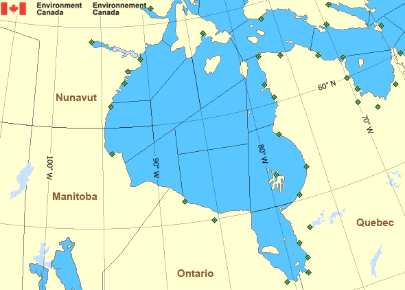
Legend:
 Buoy
Buoy  Land Station
 Ice Conditions
Ice Forecasts
Issued 11:00 AM EDT 31 August 2026 Today Tonight and TuesdayIce Edge
First ice edge estimated from Nunavut near 6614N 8456W to 6527N8342W to 6532N 7947W to 6643N 7955W to Nunavut near 6655N 8157W. Sea
ice north then south of the ice edge.
Second ice edge estimated from Nunavut near 6938N 8213W to Baffin
Island near 6947N 8208W. Sea ice west of the ice edge.
Ice Coverage
Ice free.
Warnings
No watches or warnings in effect.
Synopsis
Technical Marine Synopsis
Issued 4:45 AM EDT 31 August 2026 Today Tonight and Tuesday At 1200 UTC Monday ridge located from James Bay to Foxe Basin.By 0000 UTC Wednesday ridge located over Ungava Bay to Arviat.
Hudson - Hudson Bay Area
Another Region
Features
Colour-coded weather alerts

Learn more about weather alerting in Canada
Thunderstorm Outlooks

Find the Thunderstorm Outlook for your area.
Improved storm alerts

Learn more about targeted warnings for severe thunderstorms and tornadoes
- Date modified: