
Belcher
Forecast
Marine Forecast
Issued 05:00 AM CDT 16 October 2026
Today Tonight and Saturday.
Wind west 25 knots veering to northwest 30 early this afternoon then diminishing to northwest 15 Saturday evening.
Showers changing to flurries early this morning and ending Saturday afternoon. Visibility as low as 1 mile in precipitation.
Temperatures near plus 1.
Waves
Issued 05:00 AM CDT 16 October 2026
Today Tonight and Saturday.
Seas 2 metres building to 3 early this afternoon then subsiding
to 1 Saturday afternoon.
Extended Forecast
Issued 05:00 AM CDT 16 October 2026
Sunday
Wind northwest 15 knots increasing to south 35
in the morning then backing to southeast 40 in the afternoon.
Monday
Wind west 40 knots diminishing to west 30 late
in the day.
Tuesday
Wind northwest 30 knots diminishing to
light.
Ice Forecast
Issued 11:00 AM EDT 15 October 2026 Today Tonight and Friday Forecasts available to mariners upon request.
Stay connected
 ATOM
Weather Conditions
Zoom-in to make a selection
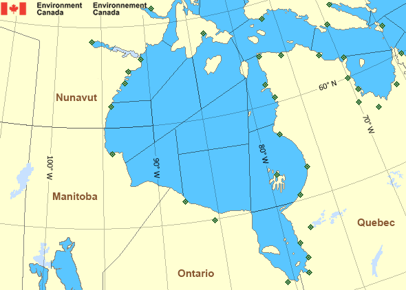
Legend:
 Buoy
 Land Station
Ice Conditions
Ice Forecasts
Issued 11:00 AM EDT 15 October 2026 Today Tonight and FridayIce Edge
First ice edge estimated from Nunavut near 6602N 8557W toSouthampton Island near 6555N 8535W. Sea ice north of the ice edge.
Second ice edge estimated from Southampton Island near 6528N 8430W
to 6537N 8305W to Nunavut near 6621N 8324W. Sea ice southwest of the
ice edge.
Third ice edge estimated from Nunavut near 6812N 8158W to 6917N
7955W to 6810N 7928W to 6705N 7717W to Baffin Island near 6632N
7328W. Sea ice west then northeast of the ice edge.
Ice Coverage
Forecasts available to mariners upon request.
Warnings
No watches or warnings in effect.
Synopsis
Technical Marine Synopsis
Issued 4:45 AM EDT 16 October 2026 Today Tonight and Saturday At 1200 UTC Friday dissipating low 991 mb located at 64N 56W.At 1200 UTC Friday departing low 996 mb located at 63N 78W.
At 1200 UTC Friday high 1030 mb located at 65N 102W.
By 0000 UTC Sunday ridge located from 74N 100W to 64N 85W then to
54N 83W.
By 0000 UTC Sunday low 974 mb located at 69N 51W.
Hudson - Hudson Bay Area
Another Region
- Date modified: