
Belcher
Forecast
Marine Forecast
Issued 09:46 AM CDT 25 October 2026
Today Tonight and Monday.
Gale warning in effect.
Wind southwest 35 to 40 knots veering to northwest 35 to 40 early this evening then diminishing to northwest 30 Monday morning.
Rain and fog banks changing to snow near midnight. Visibility 1 mile or less in fog banks and in snow.
Temperatures plus 6 falling to zero Monday morning.
Waves
Extended Forecast
Ice Forecast
Stay connected
 ATOM
Weather Conditions
Zoom-in to make a selection
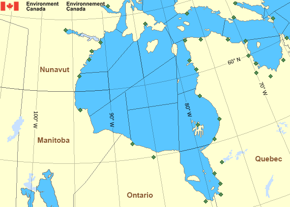
 Buoy
 Land Station
Ice Conditions
Ice Forecasts
Issued 11:00 AM EDT 25 October 2026 Today Tonight and MondayIce Edge
First ice edge estimated from Nunavut near 6534N 8647W to 6510N8638W to 6336N 8736W to 6301N 8619W to 6301N 8349W to Southampton
Island near 6334N 8141W. Sea ice east then north of the ice edge.
Second ice edge estimated from Southampton Island near 6349N 8020W
to 6400N 8012W to 6515N 8309W to Nunavut near 6634N 8239W. Sea ice
west of the ice edge.
Third ice edge estimated from Nunavut near 6728N 8112W to 6845N
8057W to 6917N 7956W to 6917N 7955W to 6806N 7935W to 6546N 7501W to
6538N 7740W to Baffin Island near 6459N 7807W. Sea ice west then
east of the ice edge.
Ice Coverage
Ice free.
Warnings
Warnings (In effect)
Gale warning in effect
Belcher
Issued 09:46 AM CDT 25 October 2026'Gale' force winds of 34 to 47 knots are occurring or expected to occur in this marine area. Watch for updated statements. Please refer to the latest marine forecasts for further details and continue to monitor the situation through Canadian Coast Guard radio.
Synopsis
Technical Marine Synopsis
Issued 4:45 PM EDT 25 October 2026 Tonight and Monday At 0000 UTC Monday deepening low 980 mb located at 61N 75W.By 0000 UTC Tuesday departing low 969 mb located at 61N 55W.
At 0000 UTC Monday quasi-stationary low 998 mb located over northern
Baffin Bay.
Hudson - Hudson Bay Area
Another Region
Features
View yesterday's weather data

Check out weather conditions from the previous day on each location page.
- Date modified: