
Prince of Wales
Forecast
Issued 05:30 AM EST 17 December 2024
Forecasts are unavailable until further request.
Stay connected
 ATOM
ATOMWeather Conditions
Zoom-in to make a selection
Legend:
 Buoy
Buoy  Land Station
 Ice Conditions
Ice Forecasts
Issued 10:00 AM EST 25 November 2024 Forecasts are unavailable until further request.Warnings
No watches or warnings in effect.
Synopsis
Technical Marine Synopsis
Issued 6:30 PM MST 17 December 2024 Forecasts are unavailable until further request.
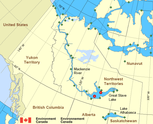
Mackenzie - Mackenzie River Area
- Amundsen
- Axe Point mile 91 to Camsell Bend mile 290
- Baillie
- Banks
- Bathurst
- Bowie - northern half
- Byam
- Camsell Bend mile 290 to Tulita mile 512
- Coronation
- Dease
- Dixon Entrance East
- Dixon Entrance West - east of Langara
- Dixon Entrance West - west of Langara
- Dolphin
- Fort Good Hope mile 684 to Point Separation mile 913
- Great Slave Lake - basin
- Great Slave Lake - east arm
- Great Slave Lake - north arm
- Hecate Strait - northern half
- Lake Athabasca - eastern half
- Lake Athabasca - western half
- Larsen
- Mackenzie
- Maud
- McClintock
- McClure
- Melville
- North Mackenzie
- North Tuktoyaktuk
- Point Separation mile 913 to Kittigazuit Bay mile 1081
- Prince Alfred
- Prince of Wales
- Rae
- Tuktoyaktuk - northern half
- Tuktoyaktuk - southern half
- Tulita mile 512 to Fort Good Hope mile 684
- Ulukhaktok
- West Coast Haida Gwaii - northern half
- Wrigley Harbour mile 0 to Axe Point mile 91
- Yukon Coast
Another Region
- Date modified: