McClintock
Forecast
Issued 05:30 PM EDT 29 October 2024
Forecasts are unavailable until further request.
Stay connected
Weather Conditions
Zoom-in to make a selection

Legend:
Ice Conditions
Ice Forecasts
Issued 10:00 AM EDT 29 October 2024 Today Tonight and WednesdayIce Edge
Ice edge is outside the forecast region.Ice Coverage
Forecasts available to mariners upon request.
Warnings
No watches or warnings in effect.
Synopsis
Technical Marine Synopsis
Issued 6:30 AM MDT 29 October 2024 Today Tonight and Wednesday At 1200 UTC Tuesday trough from 987 mb low located from 67N 98Wto 71N 96W.
By 0000 UTC Thursday trough from 986 mb low located from 67N 84W
to 71N 67W.
At 1200 UTC Tuesday quasi-stationary ridge located from 72N 139W
to 67N 126W.
At 1200 UTC Tuesday dissipating ridge located from 67N 68W to
72N 77W.
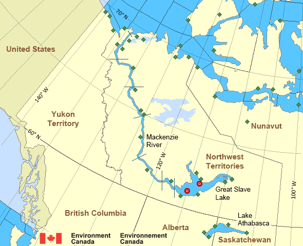
Mackenzie - Mackenzie River Area
- Amundsen
- Axe Point mile 91 to Camsell Bend mile 290
- Baillie
- Banks
- Bathurst
- Bowie - northern half
- Byam
- Camsell Bend mile 290 to Tulita mile 512
- Coronation
- Dease
- Dixon Entrance East
- Dixon Entrance West
- Dolphin
- Fort Good Hope mile 684 to Point Separation mile 913
- Great Slave Lake - basin
- Great Slave Lake - east arm
- Great Slave Lake - north arm
- Hecate Strait - northern half
- Lake Athabasca
- Larsen
- Mackenzie
- Maud
- McClintock
- McClure
- Melville
- North Mackenzie
- North Tuktoyaktuk
- Point Separation mile 913 to Kittigazuit Bay mile 1081
- Prince Alfred
- Prince of Wales
- Rae
- Tuktoyaktuk - northern half
- Tuktoyaktuk - southern half
- Tulita mile 512 to Fort Good Hope mile 684
- Ulukhaktok
- West Coast Haida Gwaii
- Wrigley Harbour mile 0 to Axe Point mile 91
- Yukon Coast
Another Region
Features
WeatherCAN

Download and use the WeatherCAN app on your mobile device
- Date modified:
 ATOM
ATOM