
Hecate Strait - northern half
Forecast
Marine Forecast
Issued 09:30 PM PDT 04 September 2026
Tonight and Saturday.
Wind north 10 to 20 knots tonight. Wind northwest 5 to 15 Saturday.
Waves
Issued 04:00 PM PDT 04 September 2026
Today Tonight and Saturday.
Seas 1 metre or less.
Extended Forecast
Issued 04:00 PM PDT 04 September 2026
Sunday
Wind variable 5 to 15 knots.
Monday
Wind northwest 5 to 15 knots.
Tuesday
Wind northwest 5 to 15 knots becoming variable
5 to 15.
Stay connected
 ATOM
ATOMWeather Conditions
Zoom-in to make a selection
Legend:
 Buoy
Buoy  Land Station
 Ice Conditions
There is no ice forecast issued for this area.
Warnings
No watches or warnings in effect.
Synopsis
Technical Marine Synopsis
Issued 9:30 PM PDT 4 September 2026 Tonight and Saturday At 9:30 p.m. PDT tonight quasi-stationary ridge located west ofthe offshore waters.
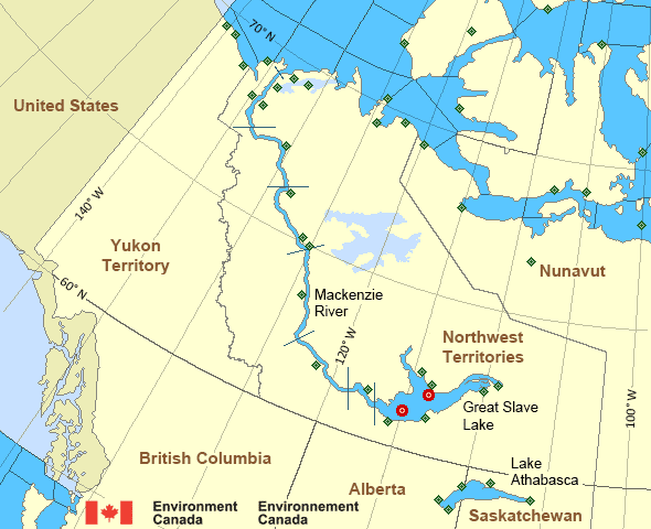
Mackenzie - Mackenzie River Area
- Amundsen
- Axe Point mile 91 to Camsell Bend mile 290
- Baillie
- Banks
- Bathurst
- Bowie
- Byam
- Camsell Bend mile 290 to Tulita mile 512
- Coronation
- Dease
- Dixon Entrance East
- Dixon Entrance West - east of Langara
- Dixon Entrance West - west of Langara
- Dolphin
- Fort Good Hope mile 684 to Point Separation mile 913
- Great Slave Lake - basin
- Great Slave Lake - east arm
- Great Slave Lake - north arm
- Hecate Strait - northern half
- Lake Athabasca
- Larsen
- Mackenzie
- Maud
- McClintock
- McClure
- Melville
- North Mackenzie
- North Tuktoyaktuk
- Point Separation mile 913 to Kittigazuit Bay mile 1081
- Prince Alfred
- Prince of Wales
- Rae
- Tuktoyaktuk - northern half
- Tuktoyaktuk - southern half
- Tulita mile 512 to Fort Good Hope mile 684
- Ulukhaktok
- West Coast Haida Gwaii - northern half
- Wrigley Harbour mile 0 to Axe Point mile 91
- Yukon Coast
Another Region
Features
Colour-coded weather alerts

Learn more about weather alerting in Canada
Improved storm alerts

Learn more about targeted warnings for severe thunderstorms and tornadoes
- Date modified: