Language selection

Weather shortcuts

Dixon Entrance West - west of Langara

Forecast

Marine Forecast

Issued 10:30 AM PDT 03 October 2024

Today Tonight and Friday.

Gale warning in effect.

Wind southeast 15 to 20 knots backing to northeast 10 to 20 near midnight then diminishing to light early Friday morning. Wind increasing to south 15 to 20 Friday afternoon and to southeast 30 to 40 Friday evening.

Showers ending Friday morning. Rain Friday evening. Visibility 1 mile or less in rain.

Waves

Issued 04:00 AM PDT 03 October 2024
Today Tonight and Friday. Seas 2 metres building to 2 to 3 Friday evening.

Extended Forecast

Issued 04:00 AM PDT 03 October 2024
Saturday Wind southwest 25 to 35 knots diminishing to southerly 15 to 20 in the afternoon.
Sunday Wind southeast 25 to 35 knots becoming southwest 20 to 30.
Monday Wind south 15 to 25 knots.

Stay connected

ATOM

Weather Conditions

Skip Image

Zoom-in to make a selection

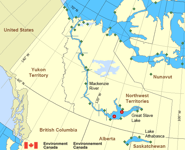
Map of Mackenzie - Mackenzie River marine weather areas Great Slave Lake - 45141 Great Slave Lake North Arm - 45150 Herschel Island Komakuk Beach Shingle Point Airport Aklavik Airport Cape Parry Airport Fort Good Hope Airport Tulita Airport Fort Providence Fort Reliance Fort Resolution Airport Fort Simpson Airport Hay River/Merlyn Carter Airport Inner Whaleback Rocks Inuvik Airport Keats Point Lutselke Airport Norman Wells Airport Paulatuk Airport Pelly Island Tuktoyaktuk Airport Wrigley Airport Yellowknife Airport Liverpool Bay Little Chicago Storm Hills Bathurst Inlet Kugluktuk Airport Hat Island Croker River Cambridge Bay Airport Cape Peel West Gateshead Island Stefansson Island Cape Providence Ulukhaktok Airport Sachs Harbour Airport Thomsen River Prairie River Egg Island Fort Chipewyan Airport Stony Rapids Airport Uranium City
Legend:
buoy Buoy
land station Land Station
Ice Conditions

There is no ice forecast issued for this area.

Warnings

Warnings (In effect)

Gale warning in effect

Dixon Entrance West - west of Langara

Issued 10:30 AM PDT 03 October 2024

'Gale' force winds of 34 to 47 knots are occurring or expected to occur in this marine area. Watch for updated statements. Please refer to the latest marine forecasts for further details and continue to monitor the situation through Canadian Coast Guard radio or Weatheradio stations.

Synopsis

Technical Marine Synopsis

Issued 10:30 AM PDT 3 October 2024 Today Tonight and Friday At 4:00 p.m. PDT today deepening low 995 mb located off Explorer.
By 11:00 a.m. PDT Friday dissipating low 998 mb located over the
Central Coast.

At 4:00 p.m. PDT Friday approaching frontal system located over
western Bowie.

Marine Weather Statement

Issued 10:19 AM PDT 3 October 2024 A low pressure system will track across Explorer tonight and weaken
over the Central Coast on Friday. Ahead of the low, southeast gales
will develop over Explorer this afternoon and then spread to
Central waters in the evening with storm force southeasterlies near
the headlands of Vancouver Island.

Winds will back to northwest gales to storm force winds immediately
behind the low before diminishing to strong westerlies midday Friday
over Explorer. Gale force northwesterlies will prevail in the wake of
the low over the central waters and the headlands of Vancouver Island
on Friday before diminishing late Friday.

An approaching frontal system will track across Bowie Friday night.
Ahead of the front, southerly gales will develop over Bowie late
Friday afternoon and then spread to northern and central waters
Friday night.

Mackenzie - Mackenzie River Area

Another Region

Features

New Predicting and Alerting Coastal Flooding Program

Find out about coastal flooding coverage, forecasts and warnings in your region

Date modified: