
West Coast Vancouver Island South
Forecast
Marine Forecast
Issued 04:00 AM PDT 08 October 2026
Today Tonight and Friday.
Gale warning in effect.
Wind northwest 10 to 20 knots except southwest 15 northwest of Estevan Point today. Wind becoming southwest 10 to 20 this evening then increasing to southwest 20 to 30 near midnight. Wind increasing to northwest 30 to 40 overnight except southwest 30 near the mouth of Juan de Fuca Strait overnight. Wind northwest 30 to 40 Friday.
Scattered showers beginning this afternoon changing to rain this evening and ending Friday morning. Fog patches dissipating this morning. Visibility 1 mile or less in fog patches and in rain.
Waves
Extended Forecast
Stay connected
 ATOM
Weather Conditions
Zoom-in to make a selection
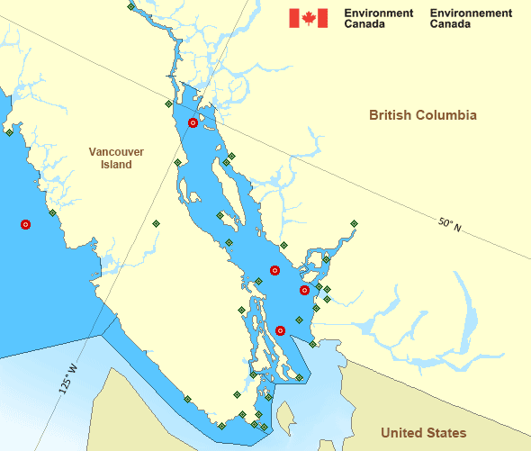
 Buoy
 Land Station
Ice Conditions
There is no ice forecast issued for this area.
Warnings
Warnings (In effect)
Gale warning in effect
West Coast Vancouver Island South
Issued 04:00 AM PDT 08 October 2026'Gale' force winds of 34 to 47 knots are occurring or expected to occur in this marine area. Watch for updated statements. Please refer to the latest marine forecasts for further details and continue to monitor the situation through Canadian Coast Guard radio.
Synopsis
Technical Marine Synopsis
Issued 4:00 AM PDT 8 October 2026 Today Tonight and Friday At 4:00 a.m. PDT today departing frontal system located over theNorth Coast.
At 4:00 a.m. PDT today ridge located on a line northeast-southwest
over Port Hardy.
By 4:00 p.m. PDT today departing ridge located on a line
northeast-southwest over Tofino.
At 10:30 a.m. PDT today frontal system located west of Explorer.
By 4:00 a.m. PDT Friday departing frontal system located on a line
northeast-southwest over southern Vancouver Island.
Marine Weather Statement
Issued 3:48 AM PDT 8 October 2026 An approaching frontal system will track across Explorer tonight andsouthwards across Vancouver Island Friday morning. In its wake,
strong to gale force northwesterlies will develop tonight
Across most outer waters and continue through Friday.
Pacific - Georgia Basin Area
Another Region
- Date modified: