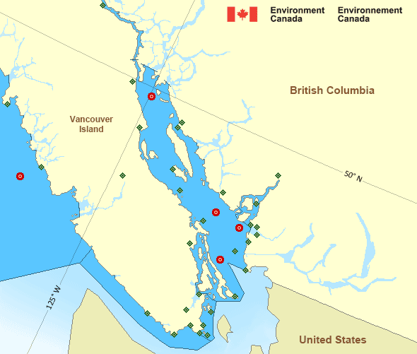
West Coast Vancouver Island South
Forecast
Marine Forecast
Issued 04:03 AM PST 05 February 2025
Today Tonight and Thursday.
Wind easterly 20 to 30 knots except light northwest of Estevan Point today. Wind becoming easterly 10 to 20 this afternoon except light northwest of Estevan Point. Wind diminishing to light near midnight then becoming easterly 5 to 15 Thursday morning. Wind becoming light Thursday afternoon then becoming northeast 5 to 15 Thursday evening.
Flurries ending this evening. Flurries Thursday afternoon and evening. Visibility 1 mile or less in flurries.
Waves
Issued 04:00 AM PST 05 February 2025
Today Tonight and Thursday.
Seas 1 to 2 metres subsiding to 1 early this
evening.
Extended Forecast
Issued 04:00 AM PST 05 February 2025
Friday
Wind variable 5 to 15 knots becoming southeast
10 to 20 in the afternoon.
Saturday
Wind southeast 10 to 20 knots becoming
northwest 10 to 20 late in the day.
Sunday
Wind northwest 10 to 20 knots.
Stay connected
Weather Conditions
Zoom-in to make a selection

Legend:
Ice Conditions
There is no ice forecast issued for this area.
Warnings
Advisories (In effect)
Marine weather advisory in effect
West Coast Vancouver Island South
Issued 04:04 AM PST 05 February 2025 What:Risk of snow squalls and waterspouts over waters west of Vancouver Island.
When:
Today.
Remarks:
An upper level disturbance, coupled with a cold and unstable airmass will lead to conditions favourable for the development of waterspouts and snowsqualls.
Synopsis
Technical Marine Synopsis
Issued 4:00 AM PST 5 February 2025 Today Tonight and Thursday At 4:00 a.m. PST today low located over southern Explorer.By 9:30 p.m. PST tonight weakening low located over southern
Explorer.
At 4:00 p.m. PST Thursday approaching low 1010 mb located over
northern Bowie.
At 4:00 a.m. PST today quasi-stationary ridge located over BC
interior.
Marine Weather Statement
Issued 3:43 AM PST 5 February 2025 A weakening low over Southern Explorer combined with a ridge over theinterior will continue to give gale force outflow winds to the
mainland inlets this morning. Winds will gradually ease near midday
today but redevelop Thursday afternoon over Dixon Entrance - east as
another low moves over the offshore waters.
Marine weather advisories are in effect for the risk of snow squalls
and waterspouts for areas west of Vancouver Island.
Pacific - Georgia Basin Area
Another Region
- Date modified:
 ATOM
ATOM