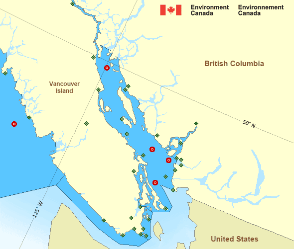
West Coast Vancouver Island North
Forecast
Marine Forecast
Issued 09:30 PM PDT 28 March 2025
Tonight and Saturday.
Wind southeast 20 to 30 knots with gusts to 40 near the Brooks Peninsula. Wind becoming southwest 20 to 25 after midnight then backing to south 15 to 20 near noon Saturday. Wind backing to southeast 15 to 25 early Saturday evening.
Showers near the headlands tonight and Saturday.
Waves
Issued 04:00 PM PDT 28 March 2025
Today Tonight and Saturday.
Seas 3 to 4 metres subsiding to 2 to 3 this evening and to 1 to 2
Saturday evening.
Extended Forecast
Issued 04:00 PM PDT 28 March 2025
Sunday
Wind southeast 15 to 25 knots diminishing to
east 5 to 15 in the afternoon.
Monday
Wind southwesterly 15 knots.
Tuesday
Wind variable 10 knots increasing to northwest
20.
Stay connected
Weather Conditions
Zoom-in to make a selection

Legend:
Ice Conditions
There is no ice forecast issued for this area.
Warnings
No watches or warnings in effect.
Synopsis
Technical Marine Synopsis
Issued 9:30 PM PDT 28 March 2025 Tonight and Saturday At 9:30 p.m. PDT tonight low 1000 mb located over Queen CharlotteSound.
At 4:00 a.m. PDT Saturday low 1000 mb located over Bowie.
At 4:00 a.m. PDT Saturday trough from low located over Bowie to
McInnes Island.
By noon PDT Saturday trough from low located over Bowie to Langara.
Marine Weather Statement
Issued 9:10 PM PDT 28 March 2025 A low pressure system over Southern Explorer will bring periods ofstrong to gale force southeasterlies to the northern and central
waters tonight and Saturday.
High pressure over Northern British Columbia is creating strong to
gale force outflow winds through the mainland inlets of the north and
central coasts until early Saturday.
Pacific - Georgia Basin Area
Another Region
- Date modified:
 ATOM
ATOM