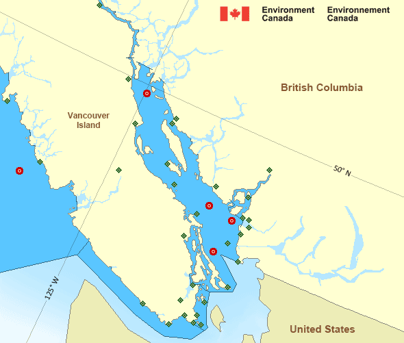
Strait of Georgia - south of Nanaimo
Forecast
Marine Forecast
Issued 09:30 PM PDT 01 April 2025
Tonight and Wednesday.
Wind light increasing to northwest 15 to 20 knots near midnight then diminishing to northwest 5 to 15 Wednesday morning. Wind becoming light near noon Wednesday.
Scattered showers ending Wednesday afternoon.
Extended Forecast
Issued 04:00 PM PDT 01 April 2025
Thursday
Wind variable 5 to 15 knots becoming light in
the morning.
Friday
Wind variable 5 to 15 knots becoming
light.
Saturday
Wind variable 5 to 15 knots becoming
light.
Stay connected
Weather Conditions
Zoom-in to make a selection

Legend:
Ice Conditions
There is no ice forecast issued for this area.
Warnings
No watches or warnings in effect.
Synopsis
Technical Marine Synopsis
Issued 9:30 PM PDT 1 April 2025 Tonight and Wednesday At 9:30 p.m. PDT tonight disturbance located over central VancouverIsland.
By 4:00 a.m. PDT Wednesday departing disturbance located over the
Lower Mainland.
At 9:30 p.m. PDT tonight building ridge located west of the
offshore waters.
Marine Weather Statement
Issued 4:00 PM PDT 1 April 2025 An upper level disturbance approaches the South Coast and a ridgewill continue to build offshore. Strong to gale force westerly
Winds are developing through Juan de Fuca Strait and should persist
into later this evening.
Pacific - Georgia Basin Area
Another Region
- Date modified:
 ATOM
ATOM