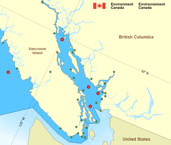
Strait of Georgia - north of Nanaimo
Forecast
Marine Forecast
Issued 04:00 PM PDT 10 April 2025
Tonight and Friday.
Strong wind warning in effect.
Wind southeast 20 to 30 knots veering to south 15 to 25 late this afternoon except southwest 25 near Qualicum Beach. Wind becoming south 15 this evening except southwest 20 near Qualicum Beach. Wind diminishing to light near midnight except southwest 15 near Qualicum Beach. Wind becoming northwest 15 early Friday morning then diminishing to light late Friday morning. Wind becoming northwest 5 to 15 Friday evening.
Showers this afternoon overnight Friday morning and Friday evening.
Extended Forecast
Stay connected
Weather Conditions
Zoom-in to make a selection

Ice Conditions
There is no ice forecast issued for this area.
Warnings
Warnings (In effect)
Strong wind warning in effect
Strait of Georgia - north of Nanaimo
Issued 4:00 PM PDT 10 April 2025'Strong' winds of 20 to 33 knots are occurring or expected to occur in this marine area. Please refer to the latest marine forecasts for further details and continue to monitor the situation through Canadian Coast Guard radio or Weatheradio stations.
Synopsis
Technical Marine Synopsis
Issued 4:00 PM PDT 10 April 2025 Tonight and Friday At 4:00 p.m. PDT today departing low 995 mb located over QueenCharlotte Sound.
At 4:00 p.m. PDT today departing cold front located over the
South Coast.
At 4:00 a.m. PDT Friday building ridge located west of the offshore
waters.
Marine Weather Statement
Issued 3:58 PM PDT 10 April 2025 A deep low will tracking across central waters will reach the CentralCoast early this evening and depart the region. In the vicinity
Of the low, gale to storm force southerly winds ahead of the low will
give way to gale to storm force northwesterlies this evening. Winds
will then ease through the night.
A front crossing the South Coast is leading to strong to gale force
Juan de Fuca inflow winds this evening. Following the frontal passage
early this evening, southern portions of the Strait of Georgia may
see a brief period of strong to gale force southwesterly gusts.
Pacific - Georgia Basin Area
Another Region
- Date modified:

 ATOM
ATOM