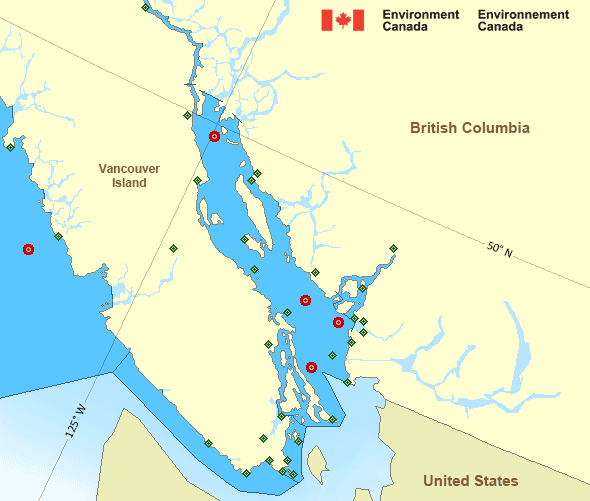
Strait of Georgia - north of Nanaimo
Forecast
Marine Forecast
Issued 09:30 PM PST 15 February 2025
Tonight and Sunday.
Wind southeast 30 knots diminishing to southeast 5 to 15 early Sunday morning then becoming light late Sunday afternoon.
Periods of rain ending Sunday afternoon. Visibility 1 mile or less in rain.
Strong wind warning program has ended for the season.
Extended Forecast
Issued 04:00 PM PST 15 February 2025
Monday
Wind northwest 5 to 15 knots becoming light in
the afternoon.
Tuesday
Wind light increasing to southeast 15 to 25
knots late in the day.
Wednesday
Wind southeast 15 to 25 knots diminishing to
southeast 5 to 15.
Stay connected
Weather Conditions
Zoom-in to make a selection

Legend:
Ice Conditions
There is no ice forecast issued for this area.
Warnings
No watches or warnings in effect.
Synopsis
Technical Marine Synopsis
Issued 4:00 AM PST 16 February 2025 Today Tonight and Monday At 4:00 a.m. PST today weakening frontal system located from HaidaGwaii to Vancouver Island.
At 4:00 a.m. PST today quasi-stationary ridge located over BC
interior.
At 10:00 a.m. PST today trough located on a line northwest-southeast
over Explorer.
By 10:00 p.m. PST tonight weakening trough located over Explorer.
Marine Weather Statement
Issued 3:39 AM PST 16 February 2025 A frontal system extending from Haida Gwaii to Vancouver Island willcontinue to weaken today.
Ahead of the front, gale force southeasterlies over northern and
central waters will ease to strong force later this morning.
A ridge over the interior combined with the frontal system will give
gale force outflow winds to the North and Central Coasts this
morning.
Pacific - Georgia Basin Area
Another Region
- Date modified:
 ATOM
ATOM