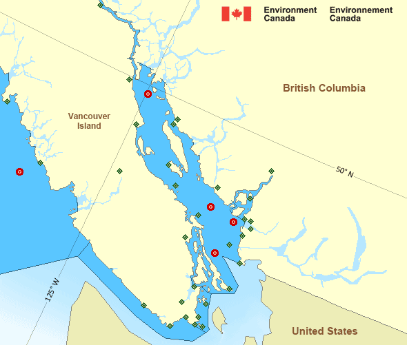
Juan de Fuca Strait - west entrance
Forecast
Marine Forecast
Issued 09:30 PM PST 21 December 2024
Tonight and Sunday.
Wind southeast 15 knots increasing to southeast 15 to 25 near midnight then veering to southwest 20 early Sunday evening.
Periods of rain overnight and Sunday.
Strong wind warning program has ended for the season.
Extended Forecast
Issued 04:00 PM PST 21 December 2024
Monday
Wind west 15 to 25 knots becoming southeast 15
to 25 in the morning then increasing to east 25 to 35 late in the day.
Tuesday
Wind east 25 to 35 knots diminishing to west
10 to 20 late in the day.
Wednesday
Wind east 20 knots increasing to southeast
35 to 45.
Stay connected
Weather Conditions
Zoom-in to make a selection

Legend:
Ice Conditions
There is no ice forecast issued for this area.
Warnings
No watches or warnings in effect.
Synopsis
Technical Marine Synopsis
Issued 9:30 PM PST 21 December 2024 Tonight and Sunday At 9:30 p.m. PST tonight frontal system located west of theoffshore waters.
By 1:00 p.m. PST Sunday frontal system located from Haida Gwaii
to Vancouver Island.
At 4:00 p.m. PST Sunday trough located from Bowie to Explorer.
At 9:30 p.m. PST tonight quasi-stationary ridge located over
BC interior.
Marine Weather Statement
Issued 9:12 PM PST 21 December 2024 Another frontal system is approaching the offshore waters andWill move across the marine regions on Sunday. Storm to hurricane
force southeasterlies will develop ahead of this system with
southeast gales developing over the inner South Coast. This system
will bring gale to storm force southwesterlies in its wake Sunday
night over the northern waters.
Pacific - Georgia Basin Area
Another Region
Features
Canada's 10 most impactful weather stories of 2024

Find out which weather events made the list
- Date modified:
 ATOM
ATOM