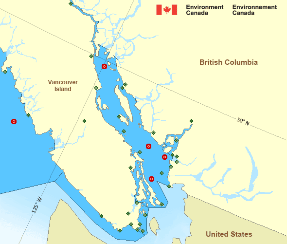
Juan de Fuca Strait - west entrance
Forecast
Marine Forecast
Issued 04:00 PM PDT 31 May 2025
Tonight and Sunday.
Strong wind warning in effect.
Wind northwest 20 knots diminishing to light early this evening then becoming northwest 15 near noon Sunday. Wind diminishing to light Sunday evening.
Extended Forecast
Issued 04:00 PM PDT 31 May 2025
Monday
Wind light increasing to west 10 to 20 knots
late in the day.
Tuesday
Wind light becoming west 10 to 15
knots.
Wednesday
Wind west 10 to 15 knots.
Stay connected
Weather Conditions
Zoom-in to make a selection

Legend:
Ice Conditions
There is no ice forecast issued for this area.
Warnings
Warnings (In effect)
Strong wind warning in effect
Juan de Fuca Strait - west entrance
Issued 4:00 PM PDT 31 May 2025'Strong' winds of 20 to 33 knots are occurring or expected to occur in this marine area. Please refer to the latest marine forecasts for further details and continue to monitor the situation through Canadian Coast Guard radio or Weatheradio stations.
Synopsis
Technical Marine Synopsis
Issued 4:00 PM PDT 31 May 2025 Tonight and Sunday At 4:00 p.m. PDT today building ridge located west of the offshorewaters.
By 4:00 a.m. PDT Sunday quasi-stationary ridge located over Bowie.
At 10:30 a.m. PDT Sunday ridge located over Bowie.
By 9:30 p.m. PDT Sunday ridge located over Haida Gwaii to Explorer.
At 4:00 p.m. PDT Sunday frontal system located northwest of Bowie.
Marine Weather Statement
Issued 3:47 PM PDT 31 May 2025 A ridge of high pressure is builiding over offshore waters.Marginal northwesterly gales are expected over west coast Vancouver
Island and Johnstone Strait. Strong northwestly winds are expected
for the rest of the southern waters.
Pacific - Georgia Basin Area
Another Region
- Date modified:
 ATOM
ATOM