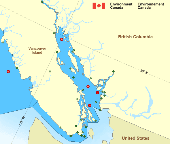
Juan de Fuca Strait - west entrance
Forecast
Marine Forecast
Issued 09:30 PM PST 23 November 2024
Tonight and Sunday.
Wind south 10 to 20 knots backing to east 15 to 20 late overnight then diminishing to east 5 to 15 near noon Sunday.
Showers.
Strong wind warning program has ended for the season.
Extended Forecast
Issued 04:00 PM PST 23 November 2024
Monday
Wind easterly 5 to 15 knots.
Tuesday
Wind easterly 5 to 15 knots increasing to
westerly 15 to 20 late in the day.
Wednesday
Wind westerly 5 to 15 knots increasing to
westerly 15 to 25 late in the day.
Stay connected
Weather Conditions
Zoom-in to make a selection

Legend:
Ice Conditions
There is no ice forecast issued for this area.
Warnings
No watches or warnings in effect.
Synopsis
Technical Marine Synopsis
Issued 9:30 PM PST 23 November 2024 Tonight and Sunday At 9:30 p.m. PST tonight quasi-stationary ridge located overBC interior.
At 9:30 p.m. PST tonight weakening low 998 mb located 60 miles
southwest of Cape St. James.
By 4:00 a.m. PST Sunday departing low 1002 mb located over
northwestern Explorer.
At 4:00 a.m. PST Sunday approaching trough located off the
Washington Coast.
Marine Weather Statement
Issued 9:30 PM PST 23 November 2024 A 998 millibar low west of Cape Scott will track slowly westwardtonight into Explorer Sunday morning. Another trough will approach
the South Coast early Sunday morning.
Strong to gale force south to southeasterly winds over southern
And central waters north and east of the low will prevail tonight
then weaken on Sunday. Strong to local gale force southeasterlies
over the South Coast will also ease Sunday afternoon.
A strong ridge of high pressure over BC Interior combined with the
low offshore will continue to produce gale to storm force outflow
winds through the mainland inlets of the North and Central Coasts
tonight and slowly weaken on Sunday.
Pacific - Georgia Basin Area
Another Region
- Date modified:
 ATOM
ATOM