
Howe Sound
Forecast
Marine Forecast
Issued 04:00 AM PDT 26 October 2026
Today Tonight and Tuesday.
Gale warning in effect.
Wind northerly outflow 25 to 35 knots diminishing to northerly outflow 10 to 20 late this morning then becoming southerly inflow 5 to 15 near noon. Wind becoming light this evening then increasing to southerly inflow 10 to 20 near noon Tuesday.
Scattered showers overnight and Tuesday.
Extended Forecast
Stay connected
 ATOM
ATOMWeather Conditions
Zoom-in to make a selection
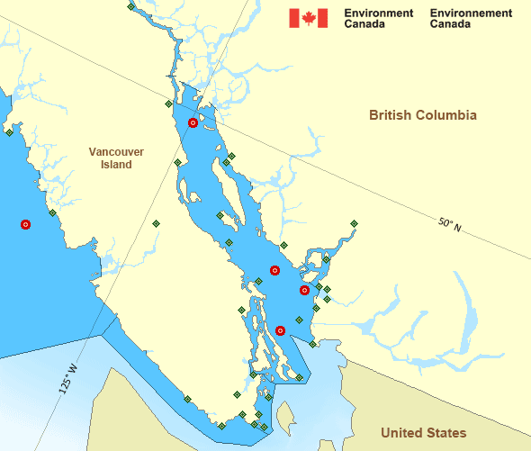
 Buoy
Buoy  Land Station
 Ice Conditions
There is no ice forecast issued for this area.
Warnings
Warnings (In effect)
Gale warning in effect
Howe Sound
Issued 04:00 AM PDT 26 October 2026'Gale' force winds of 34 to 47 knots are occurring or expected to occur in this marine area. Watch for updated statements. Please refer to the latest marine forecasts for further details and continue to monitor the situation through Canadian Coast Guard radio.
Synopsis
Technical Marine Synopsis
Issued 4:00 AM PDT 26 October 2026 Today Tonight and Tuesday At 4:00 a.m. PDT today weakening low located off Washington State.At 4:00 a.m. PDT today weakening ridge located over northern
BC interior.
At 4:00 a.m. PDT today building ridge located west of the offshore
waters.
Marine Weather Statement
Issued 3:25 AM PDT 26 October 2026 A ridge of high pressure over Interior British Columbia will continueto generate strong to gale force outflow winds through Major mainland
inlets this morning.
Another ridge building offshore will spread strong to marginal gale
force northwesterlies across the outer waters by Monday evening.
Pacific - Georgia Basin Area
Another Region
Features
View yesterday's weather data

Check out weather conditions from the previous day on each location page.
- Date modified: