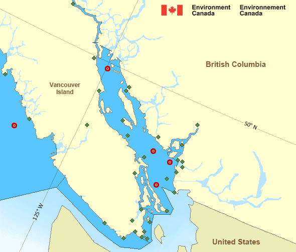
Howe Sound
Forecast
Marine Forecast
Issued 10:30 AM PST 21 November 2024
Today Tonight and Friday.
Gale warning in effect.
Wind northerly outflow 15 to 25 knots increasing to northerly outflow 30 to 40 near midnight then diminishing to northerly outflow 20 to 30 Friday morning except southeast 20 to 30 near the mouth of Howe Sound. Wind diminishing to southerly inflow 5 to 15 Friday afternoon except southeasterly inflow 20 to 30 near the mouth of Howe Sound.
Scattered showers ending this evening. Rain Friday.
Strong wind warning program has ended for the season.
Extended Forecast
Stay connected
Weather Conditions
Zoom-in to make a selection

Ice Conditions
There is no ice forecast issued for this area.
Warnings
Warnings (In effect)
Gale warning in effect
Howe Sound
Issued 10:30 AM PST 21 November 2024'Gale' force winds of 34 to 47 knots are occurring or expected to occur in this marine area. Watch for updated statements. Please refer to the latest marine forecasts for further details and continue to monitor the situation through Canadian Coast Guard radio or Weatheradio stations.
Synopsis
Technical Marine Synopsis
Issued 10:30 AM PST 21 November 2024 Today Tonight and Friday At 10:30 a.m. PST today departing low located west of the offshorewaters.
At 4:00 a.m. PST Friday deepening low 983 mb located south of
Explorer.
By 4:00 p.m. PST Friday storm 980 mb located off Vancouver Island.
Marine Weather Statement
Issued 10:25 AM PST 21 November 2024 A low pressure centre located west of the offshore waters slowlydeparts the region. In its wake, gale to storm force easterlies will
gradually ease today.
The next low moves up the Oregon and Washington coast into Southern
Explorer Friday morning and approaches West Vancouver Island Friday
afternoon. Gale to storm force southerly to southeasterly winds will
develop ahead of the low, while northerly gales are expected in its
wake.
Additionally, strong to gale force outflow winds through mainland
inlets of the North and Central Coasts will continue today and
strengthen to gale to storm force on Friday.
Pacific - Georgia Basin Area
Another Region
Features
WeatherCAN

Download and use the WeatherCAN app on your mobile device
- Date modified:
 ATOM
ATOM