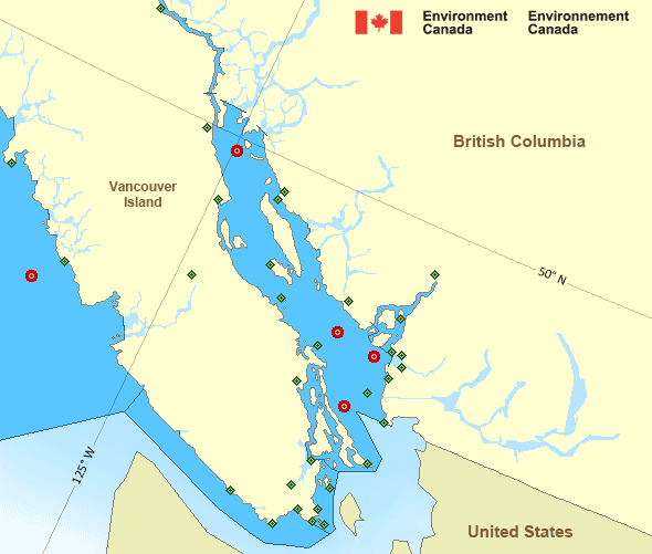
Howe Sound
Forecast
Marine Forecast
Issued 09:30 PM PDT 30 October 2024
Tonight and Thursday.
Strong wind warning in effect.
Wind northerly outflow 5 to 15 knots increasing to northerly outflow 15 to 25 near midnight then becoming northerly outflow 15 Thursday morning. Wind increasing to northerly outflow 15 to 25 early Thursday evening.
Rain changing to showers near midnight.
Extended Forecast
Stay connected
Weather Conditions
Zoom-in to make a selection

Ice Conditions
There is no ice forecast issued for this area.
Warnings
Warnings (In effect)
Strong wind warning in effect
Howe Sound
Issued 9:30 PM PDT 30 October 2024'Strong' winds of 20 to 33 knots are occurring or expected to occur in this marine area. Please refer to the latest marine forecasts for further details and continue to monitor the situation through Canadian Coast Guard radio or Weatheradio stations.
Synopsis
Technical Marine Synopsis
Issued 9:30 PM PDT 30 October 2024 Tonight and Thursday At 9:30 p.m. PDT tonight low 992 mb located over southern Bowie.By 4:00 p.m. PDT Thursday low 1002 mb located over southern
Explorer.
Marine Weather Statement
Issued 9:20 PM PDT 30 October 2024 Strong to gale force westerlies will gradually ease over the offshorewaters tonight as a low pressure centre over Bowie tracks southwards
across Explorer.
Pacific - Georgia Basin Area
Another Region
Features
WeatherCAN

Download and use the WeatherCAN app on your mobile device
- Date modified:

 ATOM
ATOM