
Strait of Georgia - south of Nanaimo
Forecast
Marine Forecast
Issued 10:30 AM PCT 15 November 2026
Today Tonight and Monday.
Wind southeast 15 to 20 knots veering to south 5 to 15 this afternoon then backing to southeast 15 to 20 this evening. Wind diminishing to southeast 5 to 15 near noon Monday then becoming light Monday evening.
Showers. Risk of thunderstorms today and early this evening.
Strong wind warning program has ended for the season.
Extended Forecast
Issued 04:00 AM PCT 15 November 2026
Tuesday
Wind southeast 10 knots increasing to
southeast 15 in the afternoon.
Wednesday
Wind east 10 knots becoming light.
Thursday
Wind northwest 15 knots diminishing to
light.
Stay connected
 ATOM
Weather Conditions
Zoom-in to make a selection
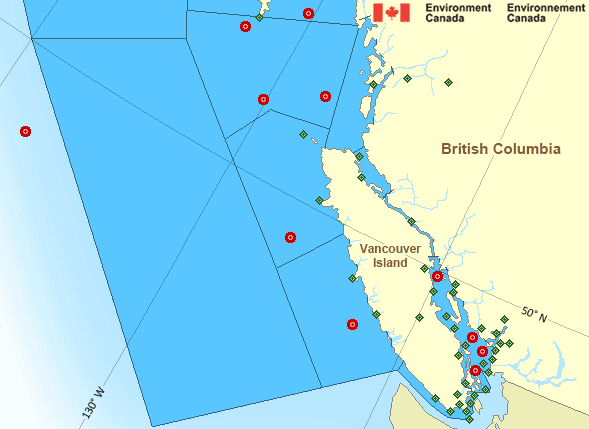
Legend:
 Buoy
 Land Station
Ice Conditions
There is no ice forecast issued for this area.
Warnings
No watches or warnings in effect.
Synopsis
Technical Marine Synopsis
Issued 10:30 AM PCT 15 November 2026 Today Tonight and Monday At 10:30 a.m. PCT today frontal system located from Bowie toExplorer.
By 5:00 p.m. PCT today frontal system located from the Central
Coast to Port Hardy.
At noon PCT Monday approaching frontal system located west of the
offshore waters.
Marine Weather Statement
Issued 10:24 AM pct 15 November 2026 A low pressure centre over Western Bowie will track northward today.Gale to storm southeast winds will persist over central and northern
waters before the winds veer to gale force westerlies in the
afternoon. These winds will begin to ease this evening as the low
departs.
On Monday, an approaching frontal system will bring gale to storm
force southerly winds to central and northern waters.
Pacific - South Coast Area
Another Region
Features
View yesterday's weather data

Check out weather conditions from the previous day using the Past Data link on each location page.
- Date modified: