
Queen Charlotte Strait
Forecast
Marine Forecast
Issued 04:00 PM PST 04 February 2025
Tonight and Wednesday.
Gale warning in effect.
Wind east 25 knots except northeasterly outflow 35 to 45 near the mainland inlets. Wind diminishing to east 10 to 20 late Wednesday morning except northeast 30 near the mainland inlets.
Flurries this afternoon.
Freezing spray warning in effect.
Freezing spray ending Wednesday morning.
Temperatures near minus 1.
Strong wind warning program has ended for the season.
Extended Forecast
Stay connected
 ATOM
ATOMWeather Conditions
Zoom-in to make a selection
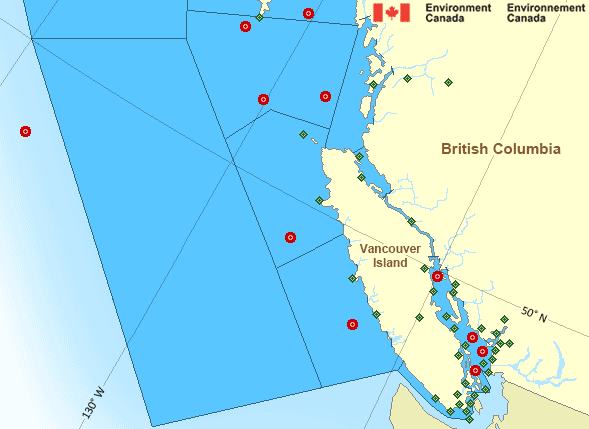
 Buoy
Buoy  Land Station
 Ice Conditions
There is no ice forecast issued for this area.
Warnings
Warnings (In effect)
Gale warning in effect
Queen Charlotte Strait
Issued 4:00 PM PST 04 February 2025'Gale' force winds of 34 to 47 knots are occurring or expected to occur in this marine area. Watch for updated statements. Please refer to the latest marine forecasts for further details and continue to monitor the situation through Canadian Coast Guard radio or Weatheradio stations.
Freezing spray warning in effect
Queen Charlotte Strait
Issued 4:00 PM PST 04 February 2025Moderate or severe freezing spray is occurring or expected to occur in this marine area. Please refer to the latest marine forecasts for further details and continue to monitor the situation through Canadian Coast Guard radio or Weatheradio stations.
Synopsis
Technical Marine Synopsis
Issued 4:00 PM PST 4 February 2025 Tonight and Wednesday At 4:00 p.m. PST today low 1003 mb located over western Explorer.By 10:00 a.m. PST Wednesday weakening low 1007 mb located off the
Washington Coast.
At 4:00 p.m. PST today quasi-stationary ridge located over BC
interior.
Marine Weather Statement
Issued 3:53 PM PST 4 February 2025 A low pressure centre near Explorer will slowly move to the westtoday. Northeasterly marginal gales over Bowie and Explorer will
weaken as this low moves away from the region.
High pressure across the BC Interior will keep the Arctic airmass
until Wednesday morning. Gale to storm force outflow winds will
persist along the mainland coast. Beyond Wednesday morning, gale
force outflow winds may continue through later this week. The Arctic
airmass will also give freezing spray in these outflow winds.
Marine weather advisories are in effect for the risk of snow squalls
and waterspouts for areas west of Vancouver Island.
Pacific - South Coast Area
Another Region
- Date modified: