
Juan de Fuca Strait - east entrance
Forecast
Marine Forecast
Issued 04:00 AM PDT 24 April 2026
Today Tonight and Saturday.
Wind northeasterly 5 to 15 knots becoming light near noon then becoming westerly 15 late this evening. Wind becoming northeasterly 10 to 15 overnight then diminishing to light Saturday afternoon. Wind becoming westerly 5 to 15 Saturday evening.
Extended Forecast
Issued 04:00 AM PDT 24 April 2026
Sunday
Wind east 5 to 15 knots becoming light in the
afternoon then becoming west 10 to 15 late in the day.
Monday
Wind west 10 to 15 knots increasing to west
20.
Tuesday
Wind west 5 to 15 knots.
Stay connected
 ATOM
ATOMWeather Conditions
Zoom-in to make a selection
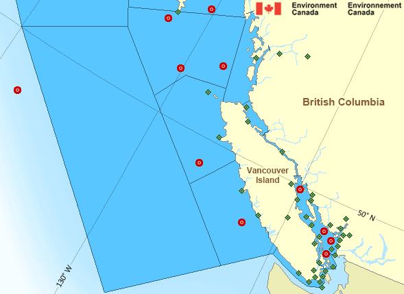
Legend:
 Buoy
Buoy  Land Station
 Ice Conditions
There is no ice forecast issued for this area.
Warnings
No watches or warnings in effect.
Synopsis
Technical Marine Synopsis
Issued 4:00 AM PDT 24 April 2026 Today Tonight and Saturday At 4:00 a.m. PDT today quasi-stationary high located west of Bowie.At 4:00 a.m. PDT today quasi-stationary trough located from the
Central Coast to the Lower Mainland.
Marine Weather Statement
Issued 3:43 AM PDT 24 April 2026 Strong northerly winds will prevail over northern and central watersand Explorer through the weekend as a ridge of high pressure remains
nearly stationary west of Bowie. Winds are expected to reach gale
force over Southern Hecate Strait tonight and west of Haida Gwaii
Saturday evening.
Pacific - South Coast Area
Another Region
Features
Colour-coded weather alerts

Learn more about weather alerting in Canada
- Date modified: