
Haro Strait
Forecast
Marine Forecast
Issued 04:00 AM PDT 02 April 2025
Today Tonight and Thursday.
Wind west 5 to 15 knots becoming light overnight. Wind light Thursday.
Scattered showers ending this morning.
Extended Forecast
Issued 04:00 AM PDT 02 April 2025
Friday
Wind light becoming northerly 10 knots late in
the day.
Saturday
Wind northerly 10 knots becoming
light.
Sunday
Wind light increasing to southeast 10 to 20
knots late in the day.
Stay connected
 ATOM
ATOMWeather Conditions
Zoom-in to make a selection
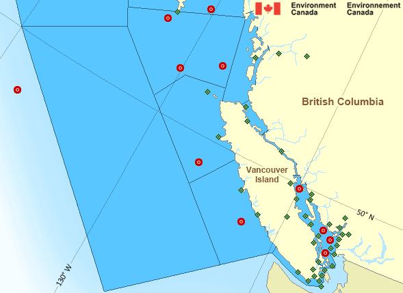
Legend:
 Buoy
Buoy  Land Station
 Ice Conditions
There is no ice forecast issued for this area.
Warnings
No watches or warnings in effect.
Synopsis
Technical Marine Synopsis
Issued 4:00 AM PDT 2 April 2025 Today Tonight and Thursday At 4:00 a.m. PDT today departing disturbance located over theLower Mainland.
At 4:00 a.m. PDT today building ridge located west of the offshore
waters.
By 4:00 p.m. PDT Thursday ridge located from Explorer to the
North Coast.
At 4:00 p.m. PDT Thursday approaching frontal system located west
of Bowie.
Marine Weather Statement
Issued 3:34 AM PDT 2 April 2025 An approaching frontal system will track across Bowie on Friday.Ahead of the front, southeast gales will develop over Bowie Thursday
evening.
Pacific - South Coast Area
- Bowie - southern half
- Central Coast from McInnes Island to Pine Island
- Explorer - northwestern half
- Explorer - southeastern half
- Haro Strait
- Hecate Strait - southern half
- Howe Sound
- Johnstone Strait
- Juan de Fuca Strait - central strait
- Juan de Fuca Strait - east entrance
- Juan de Fuca Strait - west entrance
- Queen Charlotte Sound - eastern half
- Queen Charlotte Sound - western half
- Queen Charlotte Strait
- Strait of Georgia - north of Nanaimo
- Strait of Georgia - south of Nanaimo
- West Coast Haida Gwaii - southern half
- West Coast Vancouver Island North
- West Coast Vancouver Island South
Another Region
- Date modified: