
Hecate Strait
Forecast
Marine Forecast
Issued 09:30 PM PCT 14 November 2026
Tonight and Sunday.
Storm warning in effect.
Wind southeast 45 to 55 knots diminishing to southeast 40 near midnight then increasing to southeast 45 to 55 early Sunday morning. Wind becoming southeast 45 Sunday afternoon then diminishing to southwest 30 Sunday evening except southwest 40 over northern sections.
Periods of rain.
Waves
Hecate Strait - northern half
Hecate Strait - southern half
Extended Forecast
Stay connected
 ATOM
Weather Conditions
Zoom-in to make a selection
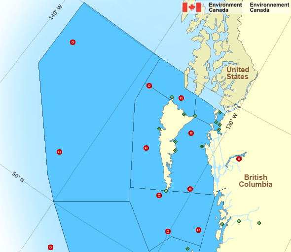
 Buoy
 Land Station
Ice Conditions
There is no ice forecast issued for this area.
Warnings
Warnings (In effect)
Storm warning in effect
Hecate Strait
Issued 9:50 PM PCT 14 November 2026'Storm' force winds of 48 to 63 knots are occurring or expected to occur in this marine area. Please refer to the latest marine forecasts for further details and continue to monitor the situation through Canadian Coast Guard radio.
Synopsis
Technical Marine Synopsis
Issued 9:30 PM PCT 14 November 2026 Tonight and Sunday At 9:30 p.m. PCT tonight frontal system located over Haida Gwaiito Port Hardy.
By 4:00 a.m. PCT Sunday frontal system located from the Central
Coast to Vancouver Island.
At 9:30 p.m. PCT tonight cold front from 959 mb low located over
southern Bowie.
By 9:00 a.m. PCT Sunday departing low 966 mb located over northern
Bowie.
Marine Weather Statement
Issued 9:13 PM pct 14 November 2026 A frontal system is lying across Haida Gwaii through Vancouver Islandwill move onto B.C. mainland coast tonight. Gale to storm force
southeasterlies over all marine waters will persist tonight. A band
of hurricane force southeast winds from Queen Charlotte Sound to west
coast Vancouver Island winds over southern waters will continue this
evening. Winds over the southern waters will ease in the wake of the
front early Sunday morning.
On Sunday, a trailing low pressure centre will track northward across
Bowie. Gale to storm southeast winds will persist over northern
waters before the winds veer to gale force westerlies in the
afternoon. These winds will begin to ease Sunday evening as the low
departs.
Pacific - North Coast Area
Another Region
Features
View yesterday's weather data

Check out weather conditions from the previous day using the Past Data link on each location page.
- Date modified: