
Douglas Channel
Forecast
Marine Forecast
Issued 10:30 AM PDT 10 October 2026
Today Tonight and Sunday.
Wind northeasterly outflow 20 to 30 knots diminishing to northeasterly outflow 10 to 20 Sunday morning and to light Sunday afternoon.
Extended Forecast
Issued 04:00 AM PDT 10 October 2026
Monday
Wind light increasing to southwesterly inflow
10 to 20 knots in the afternoon.
Tuesday
Wind northeasterly outflow 10 to 20 knots
becoming southwesterly inflow 10 to 20.
Wednesday
Wind southwesterly inflow 15 to 25 knots
diminishing to light.
Stay connected
 ATOM
ATOMWeather Conditions
Zoom-in to make a selection
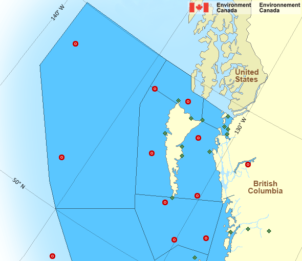
Legend:
 Buoy
Buoy  Land Station
 Ice Conditions
There is no ice forecast issued for this area.
Warnings
No watches or warnings in effect.
Synopsis
Technical Marine Synopsis
Issued 10:30 AM PDT 10 October 2026 Today Tonight and Sunday At 10:30 a.m. PDT today ridge located west of the offshore waters.By 9:30 p.m. PDT tonight ridge located on a line northeast-southwest
over Bowie.
At 10:30 a.m. PDT today ridge located over the Yukon.
By 4:00 a.m. PDT Sunday ridge located over northern BC interior.
At 4:00 a.m. PDT Sunday frontal system located west of Bowie.
By 4:00 p.m. PDT Sunday frontal system located on a line north-south
over Bowie.
Marine Weather Statement
Issued 10:25 AM PDT 10 October 2026 A ridge of high pressure will build over Northern B.C. today bringingstrong to gale force northeasterly outflow winds through the mainland
inlets of the central and north coasts, before easing tomorrow.
These outflow winds will also develop over the mainland inlets of the
South Coast tonight.
Pacific - North Coast Area
Another Region
- Date modified: