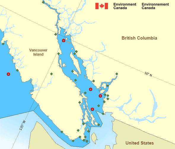
Juan de Fuca Strait - east entrance
Forecast
Marine Forecast
Issued 04:00 PM PDT 20 September 2024
Tonight and Saturday.
Wind light becoming west 5 to 15 knots early this evening then becoming light late overnight. Wind becoming west 5 to 15 Saturday afternoon.
Extended Forecast
Issued 04:00 PM PDT 20 September 2024
Sunday
Wind west 5 to 15 knots increasing to west 15
to 25 in the afternoon.
Monday
Wind light increasing to west 10 to 20
knots.
Tuesday
Wind west 10 to 20 knots.
Stay connected
Weather Conditions
Zoom-in to make a selection

Legend:
Ice Conditions
There is no ice forecast issued for this area.
Warnings
No watches or warnings in effect.
Synopsis
Technical Marine Synopsis
Issued 4:00 PM PDT 20 September 2024 Tonight and Saturday At 4:00 p.m. PDT today ridge located over Cape Scott extendingsouthwestward.
By 10:30 a.m. PDT Saturday weakening ridge located over southern
Vancouver Island.
At 4:00 p.m. PDT today warm front located over Haida Gwaii.
By 4:00 a.m. PDT Saturday warm front located over the North Coast.
By 4:00 a.m. PDT Saturday cold front located on a line
northeast-southwest over Bowie.
Marine Weather Statement
Issued 3:50 PM PDT 20 September 2024 A warm front will track across Haida Gwaii this evening and onto theNorth Coast Saturday morning. Southerly gales will continue across
northern waters this evening ahead of the front.
In the wake of the front, winds will shift to strong to gale force
southwest over the northern waters later this evening and spread to
the central waters overnight. Southwest strong to gale force winds
will persist over the central waters on Saturday as the trailing cold
front remains stationary.
Pacific - Georgia Basin Area
Another Region
Features
New Predicting and Alerting Coastal Flooding Program

Find out about coastal flooding coverage, forecasts and warnings in your region
- Date modified:
 ATOM
ATOM